
Underpinning flood preparedness in Bangladesh
This article was originally featured on SERVIR HKH's website. View the original post.
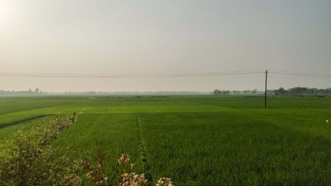
Bangladesh’s Flood Forecasting and Warning Centre (FFWC), under the Bangladesh Water Development Board (BWDB), shoulders a gargantuan task. In April and May each year, as flash floods inundate and wash away crops just before the harvesting period in Bangladesh’s north-eastern districts — Habiganj, Moulvibazar, Netrokona, Sunamganj, and Sylhet — the FFWC coordinates flood disaster mitigation and management efforts in close consultation with other line government ministries and agencies. Timely and accurate flood forecasts are crucial for food security in this region, as these north-eastern districts produce a sixth of Bangladesh’s total boro rice (winter rice) production. However, the management and forecast of floods is complex as these recurring flash floods originate in rivers in India. Given the transboundary nature and complexity of this issue, SERVIR Hindu Kush Himalaya (SERVIR HKH) has been helping the FFWC/BWDB build forecasting capabilities through the enhanced use of Earth observation and geospatial information technology.
Battling floods every year
The sudden nature of flash floods gives people in the area very little time to evacuate and protect their fields. Moreover, with limited human and technical resources, the FFWC faces a huge challenge in managing such floods every year.
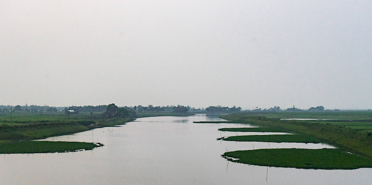
The FFWC operates 109 water level stations in 68 rivers across the country; 39 of these stations lie in the north-eastern region. Using the Bangladesh Meteorological Department’s rainfall forecasts and their in-house hydrological model, the Centre generates five-day flood forecasts for 25 water level stations in flash flood-prone areas. However, most of the floods originate in upstream rivers outside of Bangladesh’s national borders, for which data is unavailable, making the FFWC’s flood forecasting tasks even more challenging. The Centre also faces hurdles in disseminating flood forecasts to vulnerable and flood-afflicted communities.
Supporting FFWC in combating floods
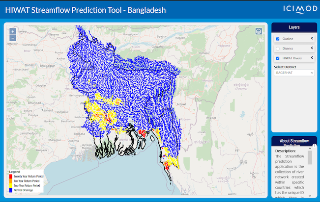
SERVIR HKH, at the International Centre for Integrated Mountain Development (ICIMOD), has been collaborating with the BWDB/FFWC since 2017 to build their capacity in the use of Earth observation and geospatial information technology for weather and water-induced disasters like floods and flash floods. They have co-developed many open-source tools and services with the FFWC to enhance its flood forecasting capabilities. Working closely with forecasters at the FFWC, SERVIR HKH customized the Streamflow Prediction Tool for Bangladesh to provide 10-day flood forecasts for major river systems in Bangladesh. The FFWC feeds these forecasts into their in-house flood forecasting model to provide more reliable forecasts and warnings to vulnerable communities across Bangladesh. Furthermore, by routing High-Impact Weather Assessment Toolkit (HIWAT) runoff predictions through the RAPID model, the HIWAT Streamflow Prediction Tool provides 54-hour flash flood forecasts for minor river segments in Bangladesh.
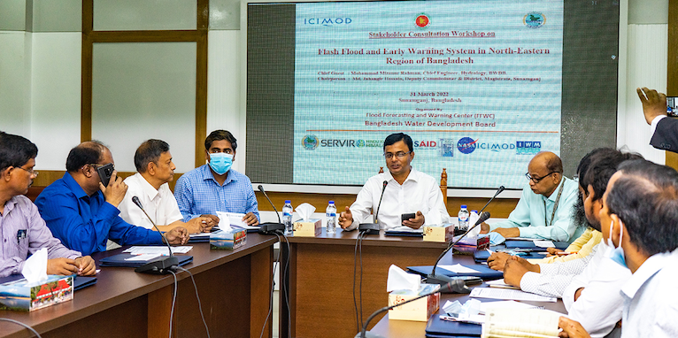
SERVIR HKH also supported the development of a mobile application – BWDB Flood App – that provides flood inundation information to BWDB field staff and at-risk communities in Bangladesh. Ahead of the monsoon season, they support the FFWC in organizing stakeholder workshops in Bangladesh’s flood-prone districts to introduce the flood forecasting tools and the mobile application to relevant stakeholders, including local government agencies and media persons.
Putting cutting-edge Earth sciences and Earth observation into use
The SERVIR HKH team conducted several needs assessment and training workshops with the FFWC, universities, and national and international agencies working on flood and disaster management in Bangladesh. The team co-developed the services and tools in response to user needs expressed at these events and are continuously updating and customizing these services to encompass new technologies, offer new functionalities, and engage new users.
By working closely with NASA and leading research universities in the world through the SERVIR network, SERVIR HKH brings cutting-edge science and technology to the region. The SERVIR HKH service on monitoring and forecasting flood inundation in South Asia is one such example. The service uses weather-independent data from spaceborne radar remote sensing sensors to map surface water extent every time a satellite collects imagery over an area of interest. The service creates flood-relevant data products in a cloud computing environment and quickly delivers flood inundation information within hours of satellite data acquisition. This feature will substantially boost flood remediation and flood rehabilitation efforts in the region.
Working with partners like the FFWC, SERVIR HKH is able to proliferate and sustain the use of Earth observation data and geospatial information technology to save lives and livelihoods in Bangladesh.
