Articles & Stories Mekong, Mumbai, and Beyond: Regionally-Developed Tool Expands to Support Global Forest Monitoring 
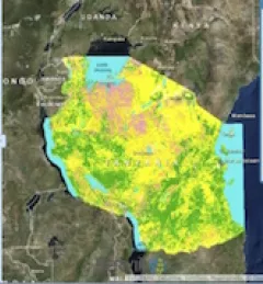
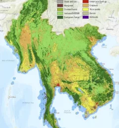
… to monitoring land cover and land use change: a lack of consistent, accurate … March 9, 2019
Articles & Stories SERVIR Launches Service Catalogue of User-Tailored Geospatial Services The newly-launched SERVIR Service Catalogue is improving access to geospatial services to inform decision making and improve resilience in critical areas like food security, water management, disaster resilience, and sustainable land and ecosystem management. February 10, 2019
Articles & Stories Seeing the Forest for the Trees: Land Cover, Land Use Change, and Ecosystems To sustainably manage forest landscapes, governments and decision makers need accurate and up-to-date information on the extent of the forests they manage and the ways they are changing. July 16, 2018
Articles & Stories SERVIR-Mekong Regional Land Cover System Showcased in First State of Land Report The Mekong Region Land Governance Project (MRLG), funded by the Swiss Agency for Development and Cooperation, featured land cover maps created by the SERVIR-Mekong team in their 2018 Mekong State of Land Report. July 13, 2018
Articles & Stories Smartphone App Simplifies Invasive Species Mapping in Kenya's North Rangelands For many years, pastoralists in Northern Kenya have been affected by Opuntia stricta, an invasive cactus native to the Caribbean region and commonly referred to as prickly pear. June 8, 2018