Strategy & Guidance USAID Geospatial Strategy USAID’s 2024-2028 Geospatial Strategy promotes leveraging the power of geospatial data and technology to target the delivery of international programs. November 15, 2023
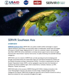
Fact Sheet Fact Sheet: SERVIR Southeast Asia This fact sheet outlines how the SERVIR Southeast Asia (SEA) Regional Hub uses publicly available satellite technologies to support regional institutions, governments, and communities adapt to transboundary climate issues and mitigate the impacts of climate change. August 31, 2023
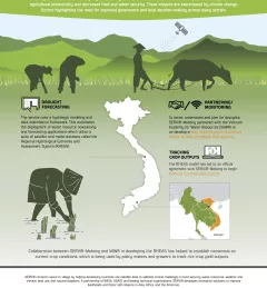
Fact Sheet Fact Sheet: Enhancing Drought Resilience in Vietnam SERVIR Mekong helped develop the Regional Hydrological Extremes and Assessment System (RHEAS), which automates the deployment of water resource nowcasting and forecasting applications to help mitigate the effects of drought in the lower Mekong region. January 13, 2021
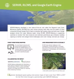
Fact Sheet Fact Sheet: Regional Land Cover Monitoring System SERVIR, RLCMS, and Google Earth Engine SERVIR-Mekong developed a new state-of-the-art tool called the Regional Land Cover Monitoring System (RLCMS) to develop high-quality maps and land cover change analysis across the Lower Mekong region. December 13, 2020
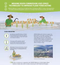
Fact Sheet Fact Sheet: Improving Flood Forecasting in the Mekong River Learn how SERVIR-Mekong is supporting the Mekong River Commission (MRC) in using satellite-derived precipitation products to increase flood forecast accuracy and lead time. December 13, 2020