
Support for Commune-Level Development Planning in Burkina Faso
The Support for Commune-Level Development Planning in Burkina Faso service is developing an information platform for monitoring of the physical occupation, land use, land cover, and spatial data infrastructure of commune-level administrative areas in Burkina Faso to support decision making related to sustainable management. Additionally, the service is in the process of establishing an information channel on income generation activities for women, and youth engagement through SERVIR clubs.
Rationale
The limited availability and accessibility of relevant, up-to-date information about land cover and land use in Burkina Faso prevents the effective planning and management of commune development. The decentralization concept required local administration to work on socioeconomic development by promoting the local resources in their communal development plan. Therefore, they have to evaluate the existing local natural, cultural, human and socioeconomic resources. SERVIR WA is supposed to respond to this need by producing data and information, suggesting actions, disseminating data and products, training people and evaluating any implementation done par stakeholders and beneficiaries. In addition there is a synergy with other development partners to consolidate common actions.
-
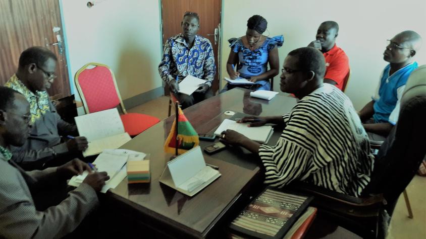
Users
Commune authorities in Leo, Arrdt2-Bobo, Arrdt5-Bobo, Dano, Barsalogho, Ouarkoye, Péni, Yamba
RISE-II/Winrock international
FAO/FFEM
PAAEDC/Bobo
-
Tools
Isestel Geospatial Platform (requires login)
