Ecosystem & Carbon Management
Harmonization Of Regional Land Use/Land Cover Classification Systems
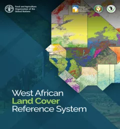
… system in support of land cover and land use change monitoring at regional, national, and …

Welcome to the SERVIR Global Service Catalog, a searchable collection of our demand-driven geospatial services that use Earth observations and climate data to support decision making and climate resilient development in the following areas:
ClimateSERV - ClimateSERV is a web-accessible system that allows users to access, visualize, and analyze historical Earth observations useful to decision-making across multiple sectors.
Collect Earth Online (CEO) - Collect Earth Online is a custom built, open-source, satellite image viewing and interpretation system developed by SERVIR, FAO, and other partners as a tool for use in projects that require land cover and/or land use data.
1 results