
SERVIR team members attend Esri event in San Diego, California
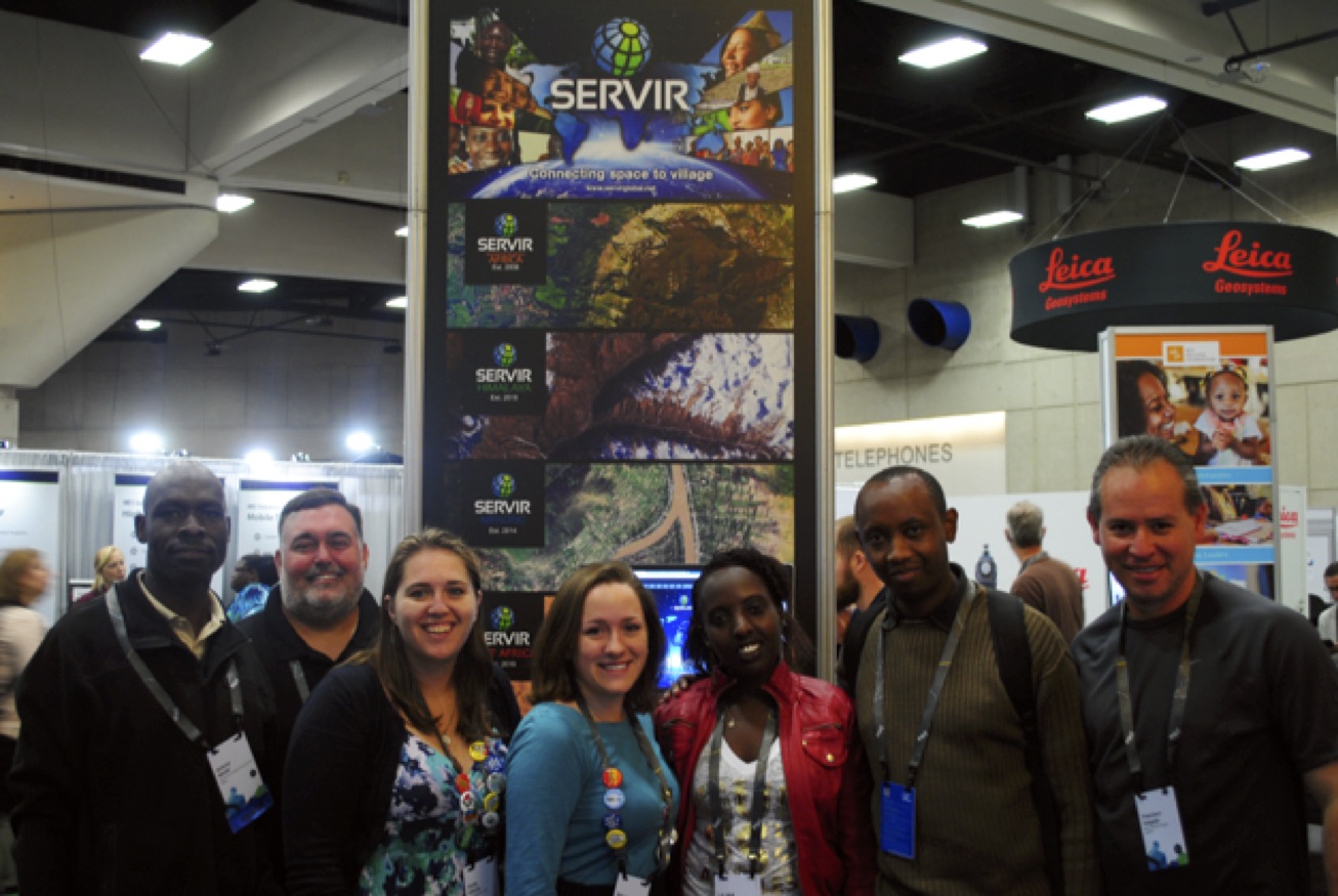 |
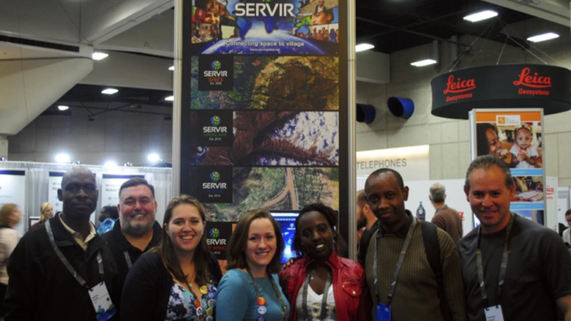
| SERVIR representatives at the SERVIR kiosk in the Sustainable World Community at the Esri Users Conference Expo (Pictured from L to R – Antony Ndubi, Lance Gilliland, Emily Adams, Rebekke Muench, Lilian Wangui, Patrick Kabatha, and Francisco Delgado) |
SERVIR team members from the SERVIR-Eastern & Southern Africa hub in Nairobi, Kenya, and the SERVIR Science Coordination Office in Huntsville, AL, converged in San Diego, CA, 27 June-1 July 2016 for the Esri International Users Conference. Both the hub and coordination office were featured in the Conference Expo’s Sustainable World Community display through a SERVIR kiosk, presentations, and story maps.
The annual Esri International Users Conference brings together people from around the world who are engaged in various aspects of Geographic Information System (GIS) work. This year, the conference drew more than 16,000 participants interested in networking and learning about the latest advancements in GIS technology and data.
“The conference provided great exposure and insights in our specific areas of expertise,” says Lilian Wangui, from SERVIR-Eastern & Southern Africa. “...The story map sessions provided good examples of how we can effectively tell a story using the story maps tools. Their role in SERVIR is that they provide a new, innovative and exciting platform for communicating the work we are doing to stakeholders -- better than PowerPoint! In addition, the conference provided a good forum for making connections with other professionals in our field.”
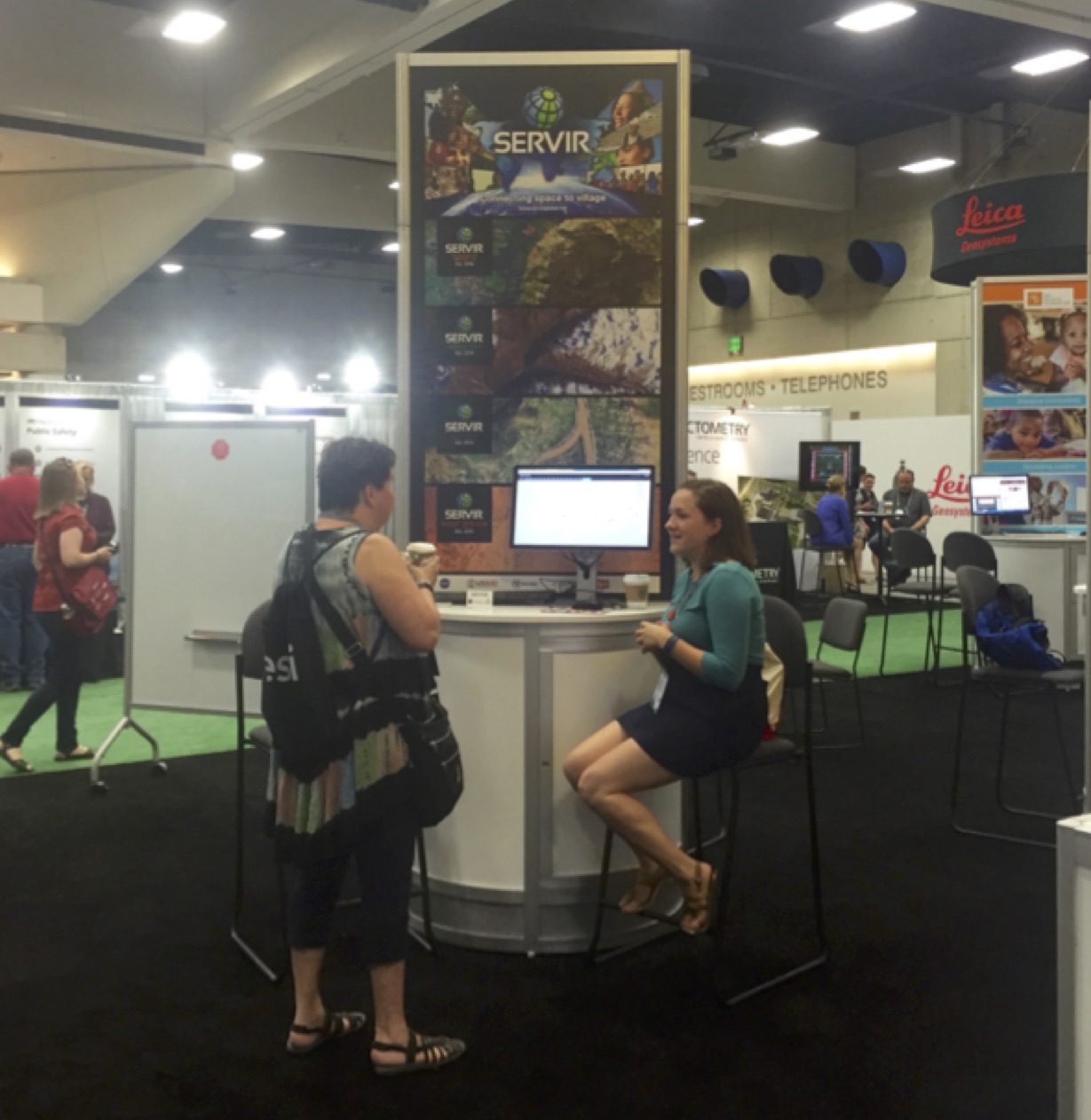 |
| Rebekke Muench describes SERVIR to an Esri Users Conference participant |
Patrick Kabatha, also from SERVIR-Eastern & Southern Africa, agrees that the story map sessions were valuable: “…I learned some key tips and tricks on how to develop good story maps based on the available content and subjects. I also greatly enjoyed the technical workshop on Web AppBuilder for ArcGIS, ArcGIS online and Model Builder, Drones in ArcGIS among others.”
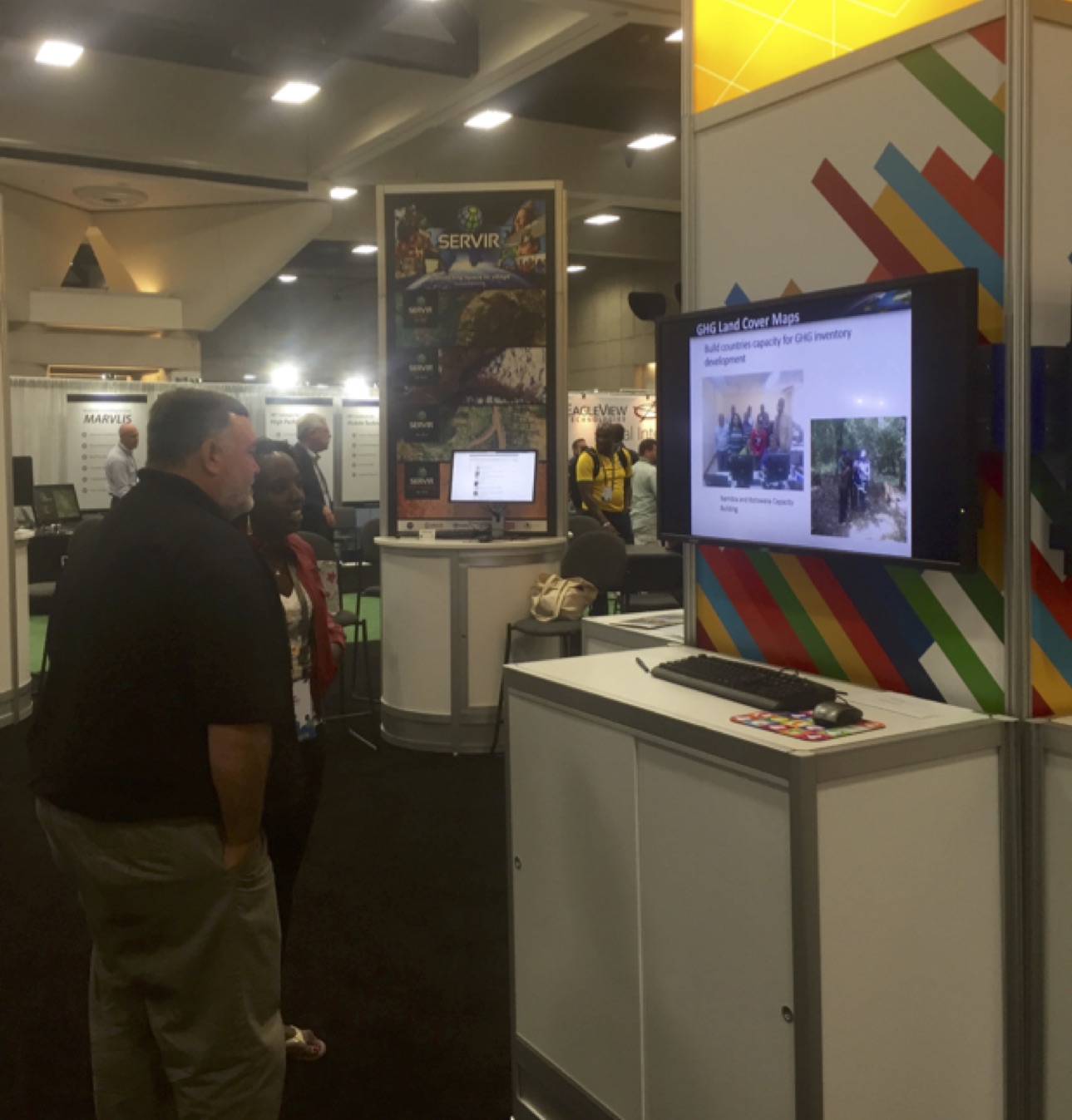 |
| Lance Gilliland and Lilian Wangui discuss SERVIR-Eastern and Southern Africa projects featured in the Sustainable World Community at the Esri Users Conference Expo |
Lance Gilliland, from the SERVIR Science Coordination Office, notes: “It’s amazing to see the types of solutions that are being built to solve complex issues. I was impressed with the functionality that Esri has made available in ArcGIS Online – including Smart Mapping for symbology and visual aids, Web AppBuilder for quickly building web apps and viewers, and the Geoprocessing tools for analysis. These tools aid in actually working with the data to help tell the story vs. simply viewing datasets. I believe that we’ll be able to leverage more of these technologies in SERVIR going forward.”
The Esri event included 300 moderated sessions, offered 450 hours of technical training, hosted 300 software vendors, and treated participants to several inspirational keynotes. A major announcement at the Users Conference was that Esri will soon offer all of the online courses in their extensive catalog to all Esri users at no charge. Previously, several courses were offered at no charge while some of the more advanced courses were available for a fee. By making all of the courses free, Esri hopes to motivate users to continue learning and improving their skills as the need for geospatial professionals increases.