
Story Map: SERVIR data supporting biological corridor and endangered gorilla species protection
Deforestation and habitat fragmentation in the tropics represent major threats to biodiversity and contribute to carbon emissions. Although tropical forests cover less than 7% of the Earth's land surface, these regions support an estimated 50% of all life on land. Tropical forests are carbon sinks, storing a large amount of carbon in their live aboveground biomass. Deforestation removes this biomass, disrupting carbon absorption and allowing any carbon stored to be released back into the atmosphere (due to land conversion, fire, and decomposition of plant material). Many countries in tropical regions have established protected areas due to increasing threats on their forested areas.
However, deforestation can isolate these protected areas, creating fragmented habitat "islands." As a result, members of various species are unable to migrating between protected areas. This has a negative effect on foraging and food/water availability, nesting sites, migratory patterns, and mating and genetic diversity.
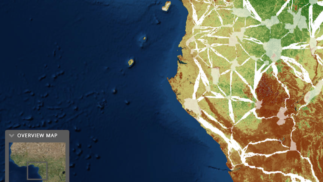
Identifying and protecting connectivity corridors between protected areas is one way to help mitigate the "island" effect. Information on biomass amounts can help researchers identify areas of highest carbon concentrations to protect as connectivity corridors between protected areas. This would help with both biodiversity and climate change mitigation initiatives.
The following story map illustrates how results of a SERVIR Applied Sciences Team (AST) project analysis are helping to identify ideal locations for connectivity corridors between protected lands based on areas of highest biomass. It also shows how the United Nations’ Great Apes Survival Project (GRASP) used the AST results to help create an online tool to improve connectivity for populations of endangered species of great apes.
Explore the story map here: http://arcg.is/29P7BAD