
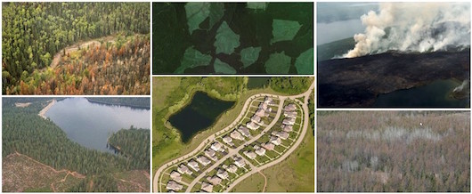
Keeping Watch Over Forests: A new training on Forest Cover Change Detection
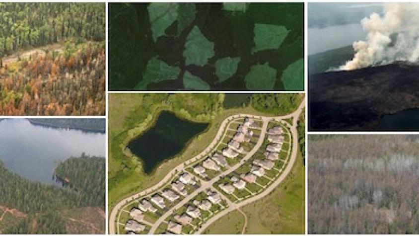
Remote Sensing for Forest Cover Change Detection is a hands-on training course that will guide you through the process of using freely available, open source software and data to map and measure changes occurring on the landscape over time. We focus the training on detecting and monitoring forest cover changes because of the relevance of monitoring forest cover change for addressing global climate change challenges. The course follows the IPCC Good Practice Guidance principles and is consistent with the methodological advice by the Global Forest Observation Initiative for forest monitoring in the context of REDD+ (Reducing Emissions from Deforestation and Forest Degradation). Read more >>

| What is Change Detection? | How to Get Started |
Click here to download the slides from our April 20 webinar launch.
| Presentation: Module 1 Change Detection Objectives and overview of GFOI guiding principles Training Module 1 Remote Sensing Project Planning and Documentation |
| Presentation: Module 2 Introduction to Google Earth Engine Training Module 2 Introduction to Google Earth Engine and Cloud Free Composites |
| Presentations: Module 3 Land Cover Classification Techniques Quantitative Accuracy Assessment Training Module 3 Introduction to QGIS and Land Cover Classification |
| Presentation: Module 4 Overview of detecting, mapping and quantifying change using remote tools Training Module 4 Change Detection and Area Estimation |
| Presentation: Module 5 Hybrid Monitoring Approach: wall to wall mapping and area estimation |
| Presentation: Module 6 Reference data collection with Collect Earth Online (Coming Soon!) |
| Download QGIS (zip file for the OSGeo4W64 install) Download QGIS Scripts (zip file with Python scripts) Download Change Detection datasets (zip file) |