
SERVIR-Mekong grantees kick off innovative research
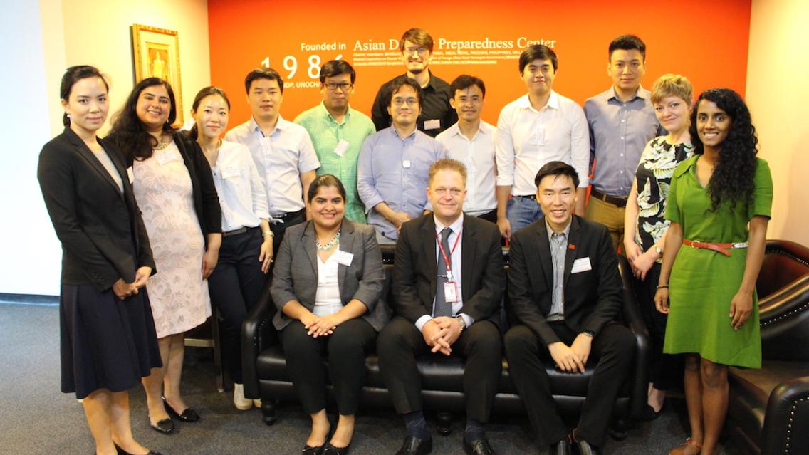
During 1-2 June 2017, SERVIR-Mekong personnel led a kick-off workshop for seven grantee organizations selected under the SERVIR-Mekong Grants Program at the Asian Disaster Preparedness Center in Bangkok, Thailand. The purpose of the event was to define roles and responsibilities, outline grant activities, and provide opportunities for the grantees to interact in person with SERVIR-Mekong staff.
The grantees were selected through a rigorous two-stage application process under two solicitations: one focused on research activities within the four SERVIR service areas (land cover/land use & ecosystems, water resources & disasters, food security, and weather & climate), and the other focused on exploring the intersection of gender and geospatial technology in relation to improving environmental management and resilience to climate change in the Mekong Region. Applications were solicited from organizations in Cambodia, Thailand, and Vietnam.
 |
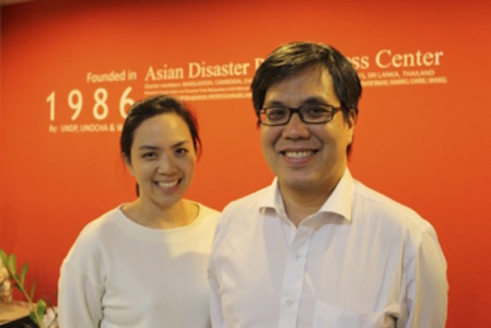
| Participants of the SERVIR-Mekong Grants kickoff workshop |
Each grantee had their own motivation for getting involved, but the common theme among them is that they see a need they want to address. For example, Nguyen Xuan Lam from the Institute of Water and Environment in Vietnam says “When I went to the field, people said, ‘I need your forecast for the rainfall.’ … With [our] tool, if it succeeds, we will be able to respond to this need better.”
The selected grant teams from non-governmental organizations (NGOs), universities, and scientific institutes in Cambodia, Vietnam, and Thailand, received training on USAID grants management, engaging with stakeholders, mainstreaming gender into research, capacity building, monitoring and evaluation, and communications. Grantees also presented on their activities and the outcomes they plan to achieve over the next nine months.
The activities proposed by these organizations are varied in technical breadth, from using satellite data to strengthen the capacity of reservoir operation and management in the driest province in Vietnam to conducting a spatio-temporal analysis on urban development and a scenario-based flood risk assessment for the Bangkok metropolitan region. The grantees will come together at the end of the grants program for a knowledge transfer workshop, another opportunity for cross-learning and networking.
“I’m excited to see the impacts,” said Sohee Kim, Assistant Professor at AIT Solutions, Asian Institute of Technology, talking about her project on developing flood-risk maps of the Bangkok metropolitan region. “I hope our work sends the message that we need to integrate risk assessments into our urban development. You can’t just come up with blueprints from scratch. You really have to understand both the physical and socio-economic factors of the area.”
SERVIR-Mekong’s grants program is managed as a partnership between the SERVIR-Mekong Hub based in Bangkok, Thailand, and the SERVIR Support Team based in Washington, DC, USA. The grants are awarded through a Grants Under Contract (GUC) component under the SERVIR Support contract, and payments are administered by the SERVIR Support team. The SERVIR-Mekong team plays a critical role in each stage of the grants program, including providing technical feedback during the selection process, providing technical support to the grantees (both on science, and cross-cutting issues such as user engagement, monitoring & evaluation, and gender mainstreaming), and providing technical approval for deliverables.
The selected grants are detailed below.
Grantee Name: Institute for Water & Environment (IWE)
Country: Vietnam
Grant Title: “Application of Satellite Data to Strengthen the Capacity of Reservoir Operation and Management for Increasing Resilience to Drought and Ensuring Water and Food Security for Ninh Thuan Province”
Activity Description: The purpose of the award is to utilize satellite data to strengthen the capacity of reservoir operation and management for increasing resilience to drought and ensuring water and food security for Ninh Thuan province, which is the driest province in Vietnam. The activity includes stages of conducting field surveys to collect data, developing a data system to support reservoir operation, conducting field surveys to assess the accuracy of the system, and stakeholder engagement.
 |
What are you most excited about with this project?
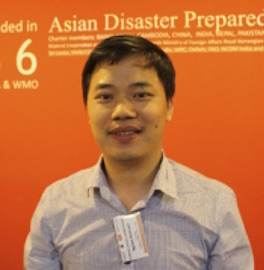
“When I went to the field, people said, ‘I need your forecast for the rainfall.’ That need came from projects and studies I’ve done before. IWE is … one of the main advisors for the Ministry of Agriculture, so we are just meeting the demands of the people. With [this] tool, if it succeeds, we will be able to respond to this need better.”
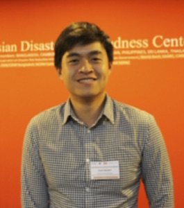
Name: Mr. Nguyen Xuan Lam
Organization: IWE, Vietnam Academy of Water Resources
Position: Vice chair of water resources and climate change, in charge of technical issues.
Grantee Name: International Union for Conservation of Nature (IUCN)
Country: Vietnam
Grant Title: “Mangrove Identification and Evaluation in Integrated Aquaculture–Forestry Ecosystems”
Activity Description: The purpose of the award is to develop a methodology to identify mangroves of varying ages in coastal locations of mixed forest and aquaculture in Vietnam, create a time-lapse series of mangrove cover maps for three provinces (Ca Mau province, Ben Tre province, and Tra Vinh province), compare the mangrove cover time-series maps with the official forest cover maps to identify and analyze discrepancies, and to provide training to local government agencies so as to improve forest management. The activity includes stages of image analysis, map refinement, and stakeholder engagement.
 |
What are you most excited about with this project?
“Getting local people involved. We are planning to use Google Earth Engine to train forest rangers, department of agriculture [employees], district and provincial agriculture officers, and give to local communities. We want to get them involved in mapping. Our implementation plan includes training workshops, on a consistent basis, in the field.”
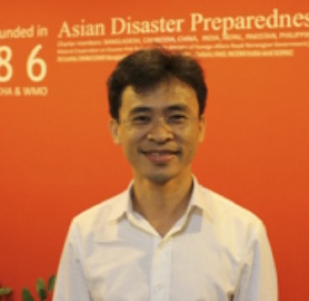
Name: Mr. Hokim Cuong
Organization: IUCN
Position: Field Program Coordinator
Grantee Name: Asian Institute of Technology (AIT)
Country: Thailand
Grant Title: “Spatio-Temporal Analysis on Urban Development and Scenario-Based Flood Risk Assessment in Bangkok Metropolitan Region”
Activity Description: The purpose of the award is to conduct a spatio-temporal analysis on urban development and a scenario-based flood risk assessment for the Bangkok metropolitan region. This study will help bridge the gap between regional climate change models and urban development scenarios, which currently limits the effectiveness of impact assessments and hinders spatial planning systems to effectively manage and minimize current and future flood risks. The activity includes stages of data collection, data analysis, and stakeholder engagement via training workshops and a project report with policy recommendations.
 |
What motivated you to get involved?
“Even though [the] research area is entire Bangkok, [it] also covers surrounding 4-5 provinces. AIT is located in one of those most vulnerable provinces. A big flood happened recently. Floods are basically a part of daily life for us. If it rains for a few hours, there is a flood on campus. I didn’t work on disaster or flood previously. I was focusing more on socioeconomic impact or adaptation response of communities to urbanization. It’s a peri-urban region. It’s quite interesting to see the urbanization in these areas because you can see it from the beginning.”
Name: Ms. Sohee Kim
Organization: AIT
Position: Assistant Professor
Grantee Name: Chulalongkorn University
Country: Thailand
Grant Title: “Assessing Impacts of Rubber Prices on Land Use Change in the Eastern Region of Thailand”
Activity Description: The purpose of the award is to conduct research to understand the role of rubber prices on smallholders’ decision to utilize their lands for rubber versus other agriculture. The organization will generate spatial data on rubber plantations in the eastern region of Thailand using multi-sensor satellite time-series imagery and survey research. The spatial data will be analyzed in conjunction with rubber prices to assess the spatial and temporal interdependence between rubber prices and rubber plantations. Subsequently, an economic model will be used to identify the key factors driving land use decisions on rubber expansion/reduction and predict future land use associated with rubber cultivation in Eastern Thailand. The activity includes stages of data collection, data analysis, report production, and stakeholder engagement.
 |
| Nij Tontisirin (Assistant Professor, Thammasat University) and Sutee Anantsuksomsri (Lecturer, Chulalongkorn University) |
What do you find most interesting about your project?
“It comes when we visit the rubber fields and really get to talk to the farmers. That’s our first time to really understand that the rubber we use in everyday life comes with hardship. They tap the tree at midnight, in the dark, with mosquitoes, snakes, etc. Safety of female tappers can be an issue.”
Name: Ms. Nij Tontisirin
Organization: Chulalongkorn University
Position: Assistant Professor
Grantee Name: Center for Environment & Community Assets Development (CECAD)
Country: Vietnam
Grant Title: “Gender-Sensitive GIS Mapping of Livelihoods and Vulnerability of Thai Ethnic Minority Group to Land Dispossession in Northwest Vietnam”
Activity Description: The purpose of the award is to explore the consequences of dispossession of land by smallholders due to the expansion of rubber plantations in Dien Bien province, with a focus on participatory Geographic Information System (GIS) mapping and a gender-sensitive approach. The project will incorporate considerations of land grabs, gender, and the application of participatory GIS in resolving the socio-economic and ecological issues arising from rubber plantations. The activity includes stages of conducting field surveys, mapping results, and conducting participatory GIS trainings for stakeholders.
 |
Why is this project important?
“I’ve lived in Vietnam for long and seen it come up from one of the poorest countries to a fast-growing economy. The economic situation has changed, but the most vulnerable are still left behind. When I go to the countryside, people talk to me; they cry [about what they’ve lost]. It’s because of the economic exploitation. This is one piece of the picture. If Vietnam wants to be a developed country, it needs to address the rest of these issues as well.”
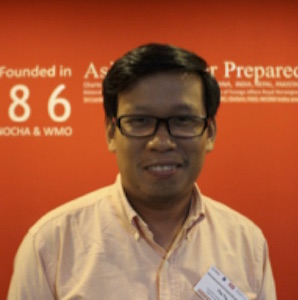
Name: Mr. Quoc Nguyen
Organization: CECAD
Position: Project Coordinator/Researcher
Grantee Name: The Asia Foundation
Country: Cambodia
Grant Title: “Production of a New Cambodian National Atlas on Gender and Climate”
Activity Description: The purpose of the award is to produce a “National Atlas of Gender and Climate” in Cambodia, that will provide a comprehensive understanding of how gender informs environment-related vulnerabilities, and the impact of climate change and disaster risks on different groups of women’s and men’s lives and livelihoods in Cambodia. This will be achieved by analyzing existing data and maps collected by The Asia Foundation. The Asia Foundation intends to use Facebook to publicize the Atlas, given Facebook’s significant influence and unmatched reach in Cambodia. The activity includes stages of gender analysis of existing data, collecting additional data, producing the Atlas, distributing the Atlas, and stakeholder engagement.
 |
Why are you excited about this project?
“It helps us to have something visual to condense all of this information, [to see] different levels of vulnerability. We believe we’re doing something new…and [we are] very excited about getting this out and contributing to more evidence-based interventions.”
Name: Mr. Terith Chy
Organization: The Asia Foundation
Position: Director of Programs, Cambodia
Grantee Name: Open Development Cambodia (ODC)
Country: Cambodia
Grant Title: “The Use of Google Earth Engine to Play a Role in Gender Equality and Education in Flood-Prone Areas”
Activity Description: The purpose of the award is to use the web-based technology application, Google Earth Engine, to track the impact of flooding on school drop-out rates along the Tonle Sap Lake and its surrounding areas, disaggregated by gender. Subsequently, a database consisting of maps, data, and map layers with locations of flood-prone areas, school locations, and school drop-out rates will be developed. This will ultimately help relevant stakeholders be better informed regarding the social impact of flooding on access to education, disaggregated by gender. The activity includes stages of data collection, classification, map development, and stakeholder engagement.
 |
What are you excited about with this project?
“SERVIR is not a new partner for ODC; it has worked closely with Open Development Mekong. We know about your expertise and strengths. We think it’s good to link ecosystem mapping from national to regional. For us, this project will be complementary to what ODC is already doing. New technology will provide new incentives.”
Name: Mr. Thy Try
Organization: ODC
Position: Executive Director for ODC