
Planning for the Year Ahead in Eastern and Southern Africa
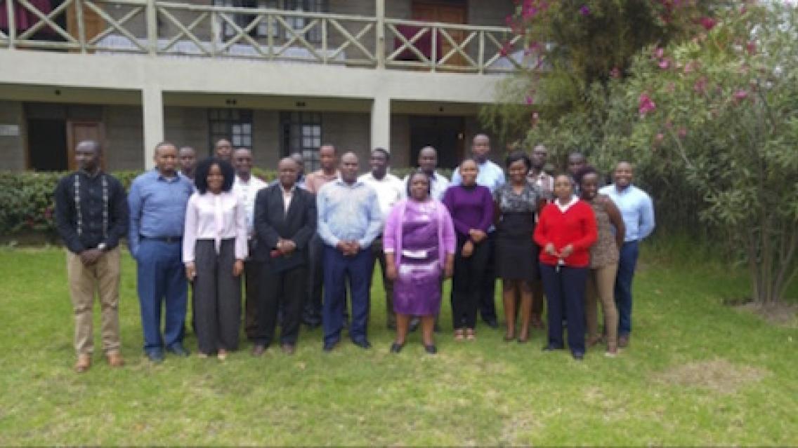
SERVIR-Eastern & Southern Africa, based at the Regional Center for Mapping of Resources for Development (RCMRD), held a week-long work plan development workshop on July 17- 21, 2017 at Maanzoni Lodge, Kenya. The workshop, attended by all SERVIR-E&SA team members, was held to plan for Fiscal Year 2018.
“The challenge is for all of you gathered here to remain fully engaged and participate in developing the FY18 work plan,” said RCMRD Director of Technical Services John Kiema, speaking during a workshop session. “You know that failing to plan is planning to fail.”
The event sessions focused on ensuring use of Earth observation information and geo-spatial analysis in development decision making by planning for services that address decision making contexts and associated needs and challenges as envisioned by end users.
Kiema encouraged the staff to ensure that the work plan reflects the needs and challenges and added that the SERVIR Project has significantly improved RCMRD’s capacity to address the needs of member States in the E&SA region.
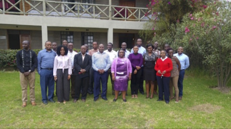
RCMRD's SERVIR-E&SA staff at the planning retreat
“The SERVIR-E&SA project builds upon RCMRD’s existing strengths and augments our data management and training capability. The project’s activities complement RCMRD’s core mission and provide a springboard for the development of applications customized for our 20 Member States.”
SERVIR-E&SA operates under four thematic areas: Agriculture and Food Security; Weather & Climate; Land Use Land Cover (LULC) & Ecosystems and Water & Hydroclimatic disasters. These thematic areas are supported by the SERVIR-E&SA Capacity Building, User Engagement, Communications & Outreach, Geo Information Technologies (GIT), and Monitoring and Evaluation units.
Dorah Nesoba of SERVIR-E&SA/RCMRD provided content for this article.