
Landscape and Ecosystems Thematic Lead Interview -- Phoebe Oduor
For more information about this SERVIR service area campaign, click here.
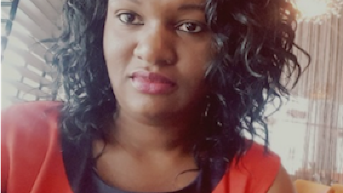
Name/Title
Phoebe Oduor, Thematic Lead, Land Use, Land Cover, and Greenhouse Gas (GHG) Inventories
SERVIR-Eastern and Southern Africa
 |
What is your educational background?
I have a Bachelor of Science in Geospatial Engineering from the University of Nairobi, and MSc. in Climate Change Adaptation from the same university.
What do you do in your current position? What are you working on now?
I provide technical expertise and guidance in the projects implemented on this subject, as well as transfer capacity to peers and stakeholders in general. I support activities related to projects revolving around landscapes, land cover, land features and GHG – specifically for the Agriculture, Forestry and Other Land Use (AFOLU) sector. We help with many areas of implementation, either providing advisory services to different countries in terms of how they tackle a specific problem or implementing specific projects that help to solve a particular issue related to land. We normally train relevant government stakeholders to build capacity on how to produce different products to address their particular needs.
AFOLU is one of the sectors required for reporting to the United Nations Framework Convention on Climate Change (UNFCCC) by countries for GHG inventories and agriculture. We have supported many countries in the region -- in particular Kenya and Uganda -- in developing their capacity to compile data on emissions.
We currently have two natural carbon sinks in the world: the oceans and forests. Both absorb a lot of CO2 and are under threat. The oceans are becoming more acidic and deforestation in accelerating in most parts of the world. While there is very little we can do about the rising acidity in the oceans, we can do something about forests. We can either increase the forest cover we have globally or we can conserve what remains. Looking at most countries, forest cover has decreased, which is also happening in Kenya. In order to develop realistic conservation strategies, countries need to have historical data on the state of their natural resources. This allows countries to make better-informed decisions on conservation policies. With increased access to reliable data, the government of Kenya now has a better understanding of which parts of the country are under the greatest threat for deforestation.
What are the biggest landscape/ecosystem challenges in Eastern and Southern Africa? How can GIS and remote sensing technologies help address these problems?
The realities of current social and environmental changes are occurring at unprecedented rates in the Eastern and Southern Africa region. Increasing population growth, changes in patterns of land tenure, industrialization, weak systems of governance, and global climate change have exacerbated previously localized environmental problems such as soil erosion, water depletion, loss of forests and grazing land, wetland degradation, falling soil fertility and biodiversity. Efforts to deal with these problems, however, have been handicapped by a real failure to understand their nature and possible remedies.
What specific tools and technologies are you using to solve these problems?
We have had to shift from tools that support “one time” mapping to “time series” mapping. We are now incorporating Google Earth Engine (GEE), Time Sync, and Collect Earth. These tools make our work much easier and faster.
What do you find unique about your work with SERVIR?
The uniqueness of SERVIR is in being able to accurately answer questions that our client countries want answered regarding land use and land use change. We can use the same data to answer similar questions, but apply it differently based on the country. We try to answer the following questions: what exactly is happening, what do we know, what can the countries do, and what do countries need to do?
How will SERVIR and the wider GIS community benefit from the new services and applications you are developing?
We have developed a lot of tools. Some are smartphone-based tools. The idea behind smartphone-based tools is to try and capture crowds and see how we can leverage on “citizen science” in data collection. In the past, data collection was actually the most expensive activity because we had to do a lot of verification in the field. But, we also noticed that the tools we used for data collection were very expensive. Right now, smartphone technology has matured to a level where we can create tools that can be used directly on the phone and that we can easily teach our partners how to use. That has been a plus! We are also working with SERVIR’s Applied Sciences Team on using the entire archive of available Landsat data. This has greatly helped us in our work monitoring changes to landscapes over time.
What are some of the main achievements of your work so far in this thematic area?
The greatest achievement so far has been providing the necessary data that countries have requested for GHG reporting, especially in countries that did not have these data in the first place. Also, in terms of responding to the United Nations Sustainable Development Goals, helping to track deforestation and develop a better understanding of the economic value in wisely managing our natural resources. These are two examples of the great achievements and capacity that has been built in countries across the region.
Is there anything else you would like to share with our readers?
Try to advance and to adapt to the needs of the people.
This interview was conducted by Dorah Nesoba at SERVIR-Eastern and Southern Africa. It has been lightly edited for style and length by SERVIR Global.