
USAID and NASA Harnessing Technology for Development in the Amazon
This article originally appeared in the CIAT blog. For the original post, please visit the CIAT website.
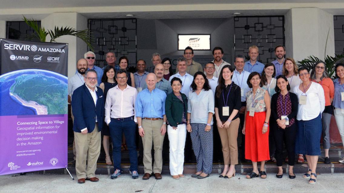
The United States Agency for International Development (USAID) and the U.S. National Aeronautics and Space Administration (NASA) announced on March 8 a five-year project that will use satellite imagery to address environment and development challenges across the Amazon Basin. Using state-of-the-art geospatial technologies, SERVIR-Amazonia will empower actors across the region to track environmental changes in almost real-time, evaluate climatic threats, and rapidly respond to natural disasters. By building the capacity of people and institutions to integrate science and technology into decision-making, USAID and NASA will support sustainability and self-reliance throughout the region.
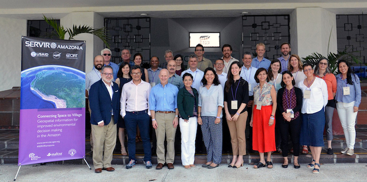
SERVIR Amazonia will be funded by USAID and with science and technology support from NASA, and implemented by the International Center for Tropical Agriculture (CIAT) and a network of local and international partners serving the Amazon region, including the Amazon Conservation Association (ACCA), the Institute of Agricultural and Forest Management and Certification (IMAFLORA), and Spatial Informatics Group (SIG). The activity will help governments, institutions and communities to use publicly-available satellite imagery, geospatial data and maps to inform decisions in four areas: (i) drought and fire, (ii) water resources and extreme events, (iii) ecosystem management, and (iv) weather and climate.
Operating as a regional hub, SERVIR Amazonia will promote collaboration among governments, universities, non-governmental organizations, community groups, and U.S. scientists. The ultimate goal is to improve local capacity to harness satellite data and geospatial information to foster sustainable natural resource management throughout the Amazon.
 |
SERVIR Amazonia will be one of five SERVIR hubs currently operating around the world. SERVIR connects USAID’s development network with NASA’s science, technology and extensive satellite data. Together with leading regional organizations in Africa, Asia and Latin America, the SERVIR global network has developed demand-driven services, tools and trainings for decision-makers in more than 45 countries.
For example, SERVIR’s Enhanced Flood Early Warning Service is increasing flood forecast lead times in the South Asia region. This includes an operational 15-day flood forecast that integrates local data into a global model using methods co-developed by U.S. researchers, local experts, and decision-makers. Longer lead times and access to accurate, appropriate information ensures better preparedness for disaster responders, who can help to save lives and property. SERVIR Amazonia will bring similar tools to bear on the challenges of the region.
More information on SERVIR is available at www.servirglobal.net.