
Frost Monitoring and Forecasting Service
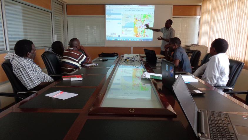
The Frost Monitoring and Forecasting service provides timely information on the current and future probability of a frost occurrence to help farmers in the Kenyan highlands prepare and reduce crop losses. The service provides automated algorithms and tools to download and analyze earth observations such as MODIS satellite data, run a high spatial resolution weather research and forecasting model, and generate frost probability of occurrence maps.
The satellite data informing this service helps end users have a more complete and holistic view of the landscape, as opposed to observations which represent only that particular point in space. They are also provided on a consistent and timely basis. Using well established communication channels, these frost maps are shared with strategic partners who support the dissemination and interpretation of the generated products. Further, the service collects historical frost information and assesses the accuracy of the shared frost information through a feedback and data collection Android mobile application tool known as the Frost Mapper. The frost maps are used by large- and small-scale farmers to support their decisions on when to skiff, prune, or pick tea in frost prone areas to avoid loss of harvest.
Rationale
Frost is a major challenge for farmers because it leads to their products having reduced quality, yield, or worse. In the Kenyan highlands, most crops have suffered from more economic losses caused by frost damage than from any other weather-related phenomenon. Timely information on when, how, and where frost will occur is relatively limited, especially in East Africa. Consequently, there is a need for a widely available source of information to help address and adapt to frost. In Kenya, the Ministry of Agriculture, insurance firms, and meteorological departments all have important stakes in providing timely information to farmers. Frost mapping and forecasting can reduce frost damage by providing growers with the opportunity to prepare for frost events. Accurately predicting these events with a can reduce annual losses equivalent to 25 days of household food spending, 60 days of household health spending, or a year of school tuition for one child.
-
Users
Kenya Meteorological Department
Tea Research Institute
Kenya Tea Development Authority
-
Data Products
