
Kenya Rangeland Assessment and Monitoring Service
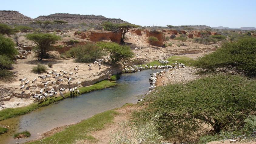
The Rangeland Assessment and Monitoring Service facilitates the near real-time assessment and monitoring of rangeland resources by developing a web-based tool to aggregate key indicators of rangeland productivity. This tool allows for the integration of MODIS satellite data-derived vegetation indicators and ancillary data to produce maps at different administrative and conservancy boundaries. The satellite data informing this service helps end users have a more complete and holistic view of the landscape, as opposed to observations which represent only that particular point in space. They are also provided on a consistent and timely basis. The management of rangelands, with their dependence on rain-fed pastures, requires near real-time information on available resources. While information on vegetation conditions is important, other critical information such as the location of water and extent of invasive species.is required for a comprehensive understanding of the condition of the rangelands. This service will provide local and national governments with the information they need to better manage their land resources.
Rationale
Kenyan rangelands cover 80% of the country and account for 90% of all employment opportunities and 95% of household income. While a lot of information on vegetation conditions and other indicators of range productivity are available online, there is not a centralized location for aggregating and synthesizing this information to develop maps that can inform different decision making processes. Additionally, with a changing climate, an assessment of vegetation productivity is critical for both identifying degradation hotspots and monitoring areas where re-greening has occurred through rehabilitation efforts. This information influences water and pasture management, grazing plans, livestock movement, conflict management, and conservation measures.
-
Users
Northern Rangelands Trust
National Drought Management Authority
Laikipia Wildlife Forum
Kenya Rapid - Kenya Resilient Arid Lands Partnership for Integrated Development
Rangeland Management Committees
Famine Early Warning Network (FEWSNET)