
Supporting Near Real-Time Flood Monitoring in Myanmar
The objective of the Supporting Near Real-Time Flood Monitoring in Myanmar Service was to develop a multi-sensor based near real-time flood monitoring tool to support the Myanmar Department of Disaster Management (DDM) in monitoring flood events. SERVIR-Mekong developed Hydrological Remote Sensing Analysis of Floods (HYDRAFloods), a web-based tool that leveraged the most recently available remotely sensed data acquired by multiple satellite platforms to generate daily flood water maps. The HYDRAFloods tool employed the most recently available optical, active- and passive- microwave remote sensing data from the Moderate Resolution Imaging Spectroradiometer (MODIS), Visible Infrared Imaging Radiometer Suite (VIIRS), Advanced Technology Microwave Sounder (ATMS), Sentinel 1, Sentinel 2, and Landsat 5, 7, and 8 sensors to generate flood maps enabling more timely, in-depth analysis, and monitoring of flood events. The Myanmar DDM took ownership of the tool for disaster planning, response, and relief activities during flood events.
Rationale
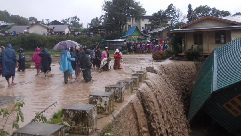
Monsoon rains and tropical cyclones cause recurrent floods in Myanmar. According to the Myanmar hazard profile, the frequency of cyclones making landfall and resulting floods increased from once in every three years to every year since 2000. Almost half a million people were affected by 2016 floods and 130,000 in the 2017 floods. There exists a dire need to monitor and disseminate information on the flood situation and inundated area in near real-time to allow emergency response operations and support relief activities by national and international organizations. In addition, a Near Real-Time (NRT) monitoring system is essential to warn people in downstream flood-prone areas about the possible threat to lives and property.
The DDM, under the Ministry of Social Welfare, Relief and Resettlement in Myanmar, has the mandate to provide relief for victims of flood disasters and take precautionary steps to minimize loss of lives and property. Currently, they are constrained by the absence of a reliable flood monitoring system which can feed timely information of inundation patterns to plan response and relief operations. SERVIR-Mekong with technical support from NASA, SCO, Deltares and Stockholm Environment Institute is co-developing the HYDRAFloods Tool with the Myanmar DDM, who will take ownership and utilize it for disaster planning, response, and relief activities during flood events.