
Monitoring of Gold Mining in the Peruvian Amazon
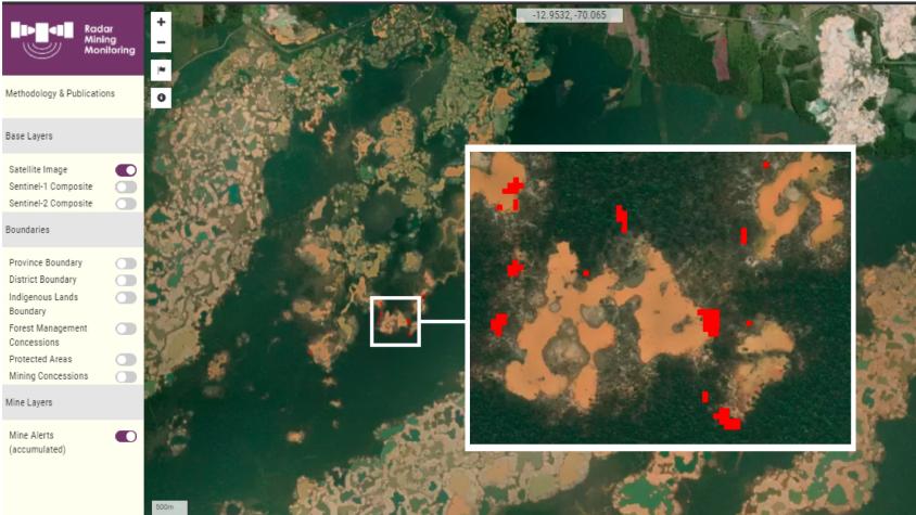
The Monitoring of Gold Mining in the Peruvian Amazon service uses the Radar Mining Monitoring tool (RAMI)to produce near real-time information on deforestation and mining activity in the southern Peruvian Amazon. It has two major objectives. First, it aims to quickly identify possible new illegal mining fronts in priority areas, such as protected area buffer zones, as well as persistent activity in degraded areas. Monitoring persistent activity includes assessing growth of ponds and detecting activity by identifying changes in water spectral signature. The second objective is to classify the occurrence of the activity according to the government’s new formalization process (illegal, informal, and formal), to better understand how legal mining impacts the forest as distinguished from illegal mining.
Rationale
Deforestation for gold mining in Peru has caused the loss of more than 107,200 hectares of primary forest in the last 32 years. We estimated that direct mining deforestation in both 2021 and 2022 accumulated 11,200 hectares in the mining corridor and this activity reached protected areas. This has directly affected farmers and indigenous communities in forestry concessions and protected areas, but also indirectly affected are fishermen, tourists, and urban populations whose sources of food are contaminated by the mercury produced as a byproduct of gold mining. In February 2019, the Peruvian government started an unprecedented mega-operation aimed at eradicating illegal gold mining in La Pampa, the most impacted area of the country, located in the buffer zone of the Tambopata reserve. While the Peruvian government has been carrying out operations destroying mining hardware and infrastructure, local communities have not been regularly engaged in the planning and decisions.
-
Users
Ministerio del Ambiente de Perú - Programa Nacional de Conservación de Bosques para la Mitigación del Cambio Climático (PNCBMCC) - Peru
Secretaria de Meio Ambiente e Sustentabilidade SEMAS-Pará - Brazil
Fundação Estadual do Meio Ambiente e Recursos Hídricos (FEMARH - Roraima) - Brazil
-
SERVIR Amazonia News/Resources
-
Collect Earth Online helps fight illegal mining in Amazon
Collect Earth Online (CEO) is helping to stop illegal mining in the Peruvian Amazon, protecting primary forests and the indigenous communities who live in the region.
-
Reducing illegal gold mining in the tropical forests of Ghana and Peru
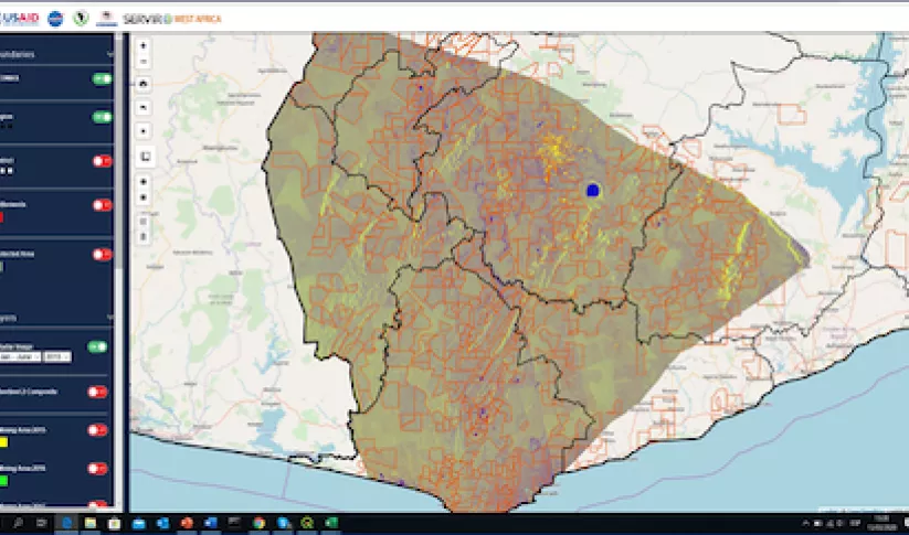
At the recent global knowledge exchange of SERVIR staff from SERVIR-Amazonia and SERVIR-West Africa exchanged ideas and experiences on services for illegal mining detection.

