
Ecosystem Services Modeling in the Amazon's Forest-Agricultural Interface
The Ecosystem Services Modeling in the Amazon's Forest-Agricultural Interface service provides accurate maps for stakeholders and decision-makers to understand the policy and economic scenarios that tip agricultural production systems towards deforestation, particularly due to palm oil and cacao production. An open science framework is being used to operationalize data analyses by monitoring agencies in Brazil and Peru. Through this service, SERVIR is leveraging cutting edge remote sensing technology such as Brazil’s TerraClass platform to map perennial crops in the Amazon, unlike similar platforms that can only map out annual crops.
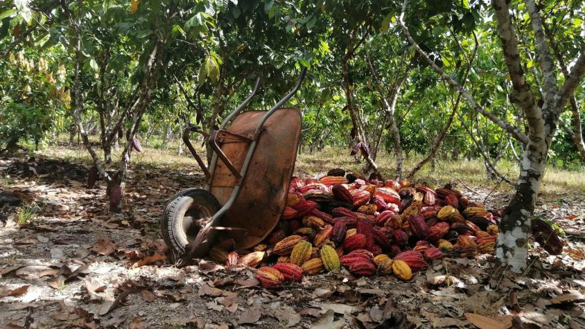
Perennial crops can contribute to sustainable landscapes and support smallholder farmers. Mapping perennial crops is critical to designing low-carbon agriculture initiatives. For example, Peru’s Alianza Cacao has provided training for local farmers to invest in sustainable crop intensification. Local farmers can apply this information to make optimum use of degraded lands as opposed to expanding into high-biomass, high-conservation value forests. Furthermore, farmers can use data from the tool to participate in certification programs that will help them get better returns for their products in international markets.
Rationale
Four commodities are estimated to account for 40% of deforestation in the Amazon: palm oil, soy, cattle, and wood products. Palm oil provides 37% of the world’s vegetable oil (FAO 2019) and is also a common ingredient in chocolate commodities. Cocoa consumption continues to increase, thanks to a growing middle class in emerging economies. While cocoa production by Amazonian countries is small compared to the global market, it is a growing industry that has a significant negative impact on ecosystem services, including the reduction of biodiversity and the loss of forest carbon sinks in specific regions. Large oil palm plantations, and conglomerates of smaller cacao plantations, have replaced prime forested areas in several tropical biodiversity hotspots. NGOs and governmental agencies have a growing need for tools to monitor these activities, while farmers also need tools for certification initiatives.
-
Users
Ministerio de Agricultura (MIDAGRI) - Peru
Gobierno Regional de Ucayali - Peru
EMBRAPA - Brazil
Secretaria de Estado de Meio Ambiente e Sustentabilidade do Pará - SEMAS-PA-Brazil