
Quantifying the Effects of Forest Changes on Provisioning and Regulating Ecosystem Services
Quantifying the Effects of Forest Changes on Provisioning and Regulating Ecosystem Services is a service that allows regional and local planners and decision-makers, as well as citizens of Acre and Ucayali (including the Indigenous and traditional communities of the Sierra del Divisor, Yurua, and Purus watersheds) to better understand the tradeoffs between development activities and ecosystem services. Changes in forest cover can be mapped and attributed to localized changes in evapotranspiration, soil moisture, humidity, and surface temperature. Through this service, the effect-radius of these changes in forest cover is determined to generate maps that highlight areas undergoing changes in microclimatology and land use. These maps provide a baseline for future climate modeling analyses on the relationship between forest disturbance and regional climate change. The service includes a statistics-based tool that allows users to analyze the tradeoffs between development activities and ecosystem services through scenario modeling.
Rationale
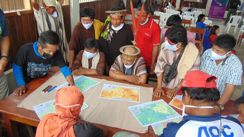
Local and regional forest clearing and degradation are affecting the hydrologic provisioning and regulating ecosystem services along the Peru-Brazil southwestern Amazon boundary, specifically Ucayali, Peru and Acre, Brazil. Additional forest clearing and degradation is the result of a planned transnational transportation corridor between Pucallpa, Ucayali and Cruzeiro do Sul, Acre. Promoted Peruvian roads along the Brazilian border in Yurua and Purus will further affect these hydrological ecosystem services with cascading effects on natural resources, disaster resilience, conservation areas, biodiversity, and indigenous communities in the region. Deforestation and forest degradation have been linked to myriad negative environmental consequences, such as decreases in biodiversity, evapotranspiration rates, carbon storage, increases in temperature, dry season length, streamflow, fire occurrence, and CO2 emissions. Local stakeholders and decision makers need a stronger evidence base to monitor existing conditions and model the impact of future infrastructure decisions to support sustainable ecosystem services for local communities.
-
Users
Secretaria de Estado do Meio Ambiente e das Políticas Indígenas (SEMAPI-Acre) - Brazil
Comissão Pró-Índio do Acre (CPI-Acre) - Brazil
Comunidades indígenas de la Sierra del Divisor, y de la cuencas Yurua, y Purus - Peru
Gobierno Regional de Ucayali - Peru
-
SERVIR Downloads