SERVIR Hubs
B. Hubs
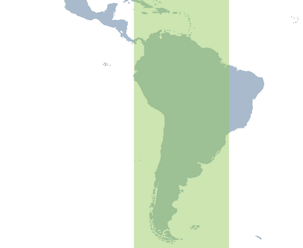
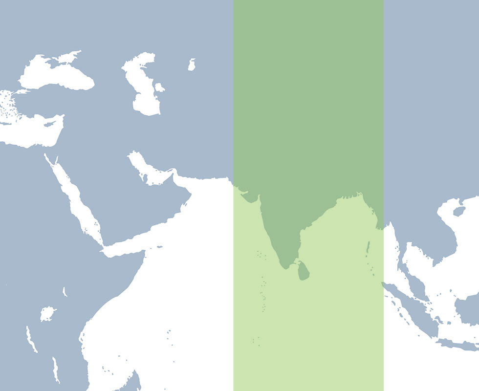
Map: [World map highlighting the region]
The geographic visualization now being requested requires expertise beyond my professional specialization. Please have the final map prepared by a graphic cartographer or mapping specialist with experience in this type of geographic visualization.
Once the completed and approved map asset is provided, I can implement and visually integrate it into the website.
SERVIR works in more than 50 countries in Africa, Asia, Central and South America. In partnership with regional, technical organizations, SERVIR has established regional “hubs” within selected host institutions.
Action: Link to our team page

B. Hubs
Regional Hub Teams
The SERVIR brings together people from diverse backgrounds and disciplines to address complex environmental challenges and deliver practical, science-based solutions to local decision-makers and communities. Our team spans independent regional hubs, research centers, universities, and partner institutions worldwide; uniting scientists, technicians, development practitioners, and subject matter experts in a truly global network. Together, we combine local knowledge with cutting-edge science to create solutions that are both impactful and sustainable.

2. Regions section
The Hubs
Tropical South America
SERVIR Tropical South America
SERVIR Tropical South America brings together the International Center for Tropical Agriculture (CIAT) in Cali, Colombia, EcoCiencia in Quito, Ecuador, Imaflora, in Piracicaba, Brazil, Asociación para la Conservación de la Cuenca Amazónica (ACCA) in Lima, Peru, and Spatial Informatics Group (SIG) in California USA. This multi-institutional structure supports expertise and relationships across the region highlighting local to regional contexts.
Mesoamerica
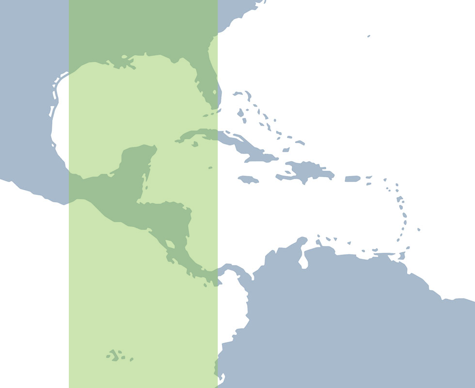
SERVIR Mesoamerica
SERVIR Mesoamerica is based at the Centro Agronómico Tropical de Investigación y Enseñanza (CATIE) in Turrialba, Costa Rica. The hub works through CATIE’s regional relationships and expertise to connect geospatial science with environmental and development priorities across MesoAmerica.
Southeast Asia
SERVIR Southeast Asia
SERVIR South Asia is based at the International Centre for Integrated Mountain Development (ICIMOD). Through its regional relationships and scientific expertise, the hub works with institutions and decision-makers across South Asia to develop and apply locally relevant geospatial services.
East Asia and the Pacific
SERVIR East Asia and the Pacific
SERVIR East Asia and the Pacific is a consortium led by the Asian Disaster Preparedness Center (ADPC) in Bangkok, Thailand. ADPC works with the Spatial Informatics Group (SIG) and the Regional Community Forestry Training Center (RECOFTC) to bring together institutions that support locally-driven applications of Earth observation, geospatial technology, and applied science across Southeast Asia and the Pacific.
West Africa
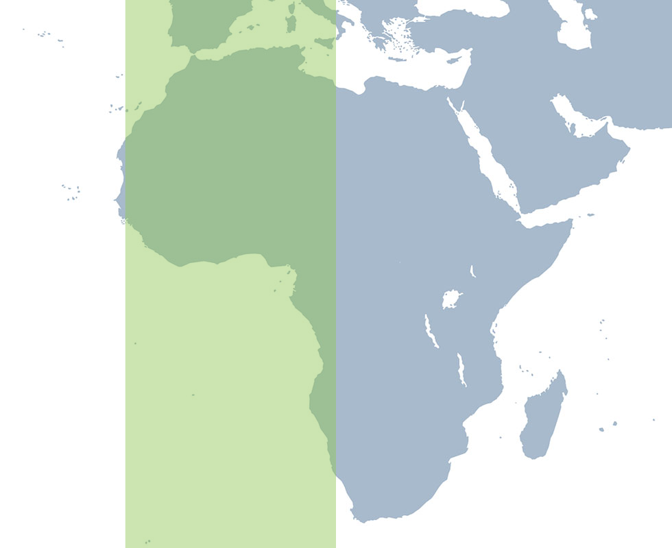
SERVIR West Africa
SERVIR West Africa is a partnership among the Centre de Suivi Ecologique (CSE) in Dakar, Senegal, Centre for Remote Sensing and Geographic Information Services (CERSGIS), in Accra, Ghana, and the International Crops Research Institute for the Semi-Arid Tropics (ICRISAT) in Bamako, Mali. The three institutions bring together complementary regional, scientific, and technical capabilities to the hub’s work across West Africa
Eastern and Southern Africa
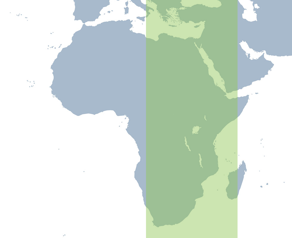
SERVIR Eastern and Southern Africa
SERVIR Eastern and Southern Africa is based at the International Center for Tropical Agriculture (CIAT) in Nairobi, Kenya. The hub connects regional knowledge, applied research, and geospatial innovation to support locally identified priorities across Eastern and Southern Africa.
Where we work
SERVIR West Africa
Partner Countries
SERVIR Mesoamerica
Partner Countries
SERVIR Eastern and Southern Africa
Partner Countries
SERVIR Tropical South America
Partner Countries
SERVIR East Asia and the Pacific
Partner Countries
SERVIR South Asia
Partner Countries