
Water and Disasters Thematic Lead Interview -- Mir Matin
For more information about this SERVIR service area campaign, click here.
Name/Title
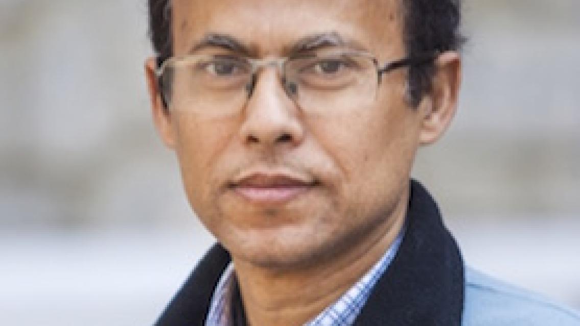
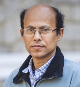
Mir Matin, Science and Data Lead, SERVIR-HKH; Theme Leader, Geospatial Solutions, ICIMOD
 |
What is your educational background?
I have a Ph.D. in Remote Sensing from the University of New Brunswick in Canada, a master's in Geoinformatics from ITC, University of Twente in the Netherlands, and a master's in Mathematics from Dhaka University in Bangladesh.
What do you do in your current position? What are you working on now?
As the Science and Data Lead for SERVIR-HKH, I am responsible for the overall coordination of design, development, and implementation of these services. I coordinate with the NASA Science Coordination Office team and the SERVIR Applied Sciences Team (AST) to align AST projects with relevant services. I support the science team to develop and collaborate with external science partners on methodologies and product development. I also coordinate with the User Engagement, Knowledge Management and Communications, and Monitoring, Evaluation and Learning teams to engage with partners for better user engagement while co-designing and developing our services. As a thematic leader, my role is to strategically lead the geospatial team at ICIMOD towards achieving our strategic goals.
What are the biggest water/disaster challenges in HKH? How can GIS and remote sensing technologies help address these problems?
The Hindu Kush Himalayan (HKH) region is often referred to as a disaster hotspot due to increasing geophysical and hydro-meteorological events resulting in growing loss of lives and livelihood support systems. Between 1900 and 2015, the region faced 36% of the total disaster events in Asia. Floods and landslides, together, cause about half of the deaths attributed to disasters. A challenging geophysical setting, and frequent natural hazards, adversely affect vulnerability in communities that already have high poverty rates. Furthermore, the region is challenged by inadequate capacity and resources to mainstream disaster risk reduction (DRR) into development plans. The HKH countries are also highly vulnerable to the impacts of climate change for which the number, and intensity of extreme weather events in the region will likely increase in the future as well.
Large parts of the HKH are inaccessible and inhospitable terrain, and data is sparse or non-existent in the region. Hydro-climatic disasters in the HKH are often trans-boundary and affect more than one country. Remote sensing provides a sound alternative to help monitor such disasters. Though sharing of information across borders is crucial in addressing disaster risks and impact, geopolitical complexities inherent to this region impede information sharing across borders. Through remote sensing it is becoming possible to generate data for the whole region suitable for generating regional models and monitoring disaster at a regional scale. Geospatial technology provides tools that assess vulnerability and risk, and improve visualization of disaster information towards supporting decision making processes.
What specific tools and technologies are you using to solve these?
We are collaborating with the SERVIR Applied Sciences Team to downscale European Centre for Medium-Range Weather Forecasts (ECMWF) 10-15 days flood forecasts to provide forecasting for any river stretch in the Hindu Kush Himalaya. We are using the Tethys open source application development framework to develop custom applications focusing on the needs of flood forecasting agencies in Bangladesh and Nepal. We have also been using radar satellite images to map inundated areas during floods.
We use the Routing Application for Parallel computation of Discharge (RAPID) hydrological model and High-Impact Weather Assessment Toolkit (HIWAT) forecast model to generate forecast for forty-eight hours river discharge to assess flash flood risks in Bangladesh and Nepal.
What do you find unique about your work with SERVIR?
A unique aspect about SERVIR is collaboration. SERVIR provides us with a platform to collaborate with scientists to bring state-of-the-art methodologies from NASA and other US agencies into our region. We collaborate with SERVIR hubs across the world to learn from each other, and we collaborate with our partners on the ground to decide on suitable applications and design them to address different issues in our focal countries.
How will SERVIR and the wider GIS community benefit from the new services and applications you are developing?
We have been using open source tools and technologies at SERVIR-HKH. Other SERVIR hubs (or any other interested party) can also implement them. The tools and methodologies developed for flood mapping could be applied in other regions too. Capacity building efforts focusing on water resources are ongoing. The training materials being developed would also help the wider geospatial community to learn and use geospatial technologies for disaster risk reduction.
What are some of the main achievements of your work so far in this thematic area?
The following are some of the achievements in the DRR thematic area.
We have conducted a number of consultations with users and producers of disaster information and built tools and applications to address the issues raised. The tools and applications have been developed and validated for over a year and are now being modified to incorporate feedback from users.
In Bangladesh, we supported the development of a mobile application for dissemination of flood warnings which is now operational and available for the public: https://play.google.com/store/apps/details?id=com.digicians.ffwc.pro.
A number of capacity building events around disasters and early warning systems have been carried out for in-house staff and our partners.
Is there anything else you would like to share with our readers?
I would like to emphasize that SERVIR aims to bring the latest developments in science to address complex environmental issues in our region. The highest impact is achieved through effective collaboration and partnerships. Ultimately, it is about serving the vulnerable people to reduce risk.