
SERVIR was established with a vision of bringing together NASA’s vast Earth and climate resources with USAID’s mission to support healthy and resilient communities around the world.
At first glance, USAID and NASA seem like an unlikely pair. NASA’s investments probe the very edge of the universe; its satellites expand our understanding of the world from above. USAID works on the ground with countries around the world to improve economic well-being, and fight hunger and poverty. But USAID and NASA have found a sweet spot for working together in the application of satellite-collected data to the development problems and challenges that we face around the world. Together with partners around the world, we’re helping solve one of the greatest threats to Earth—the climate crisis—and simultaneously strengthening resilience against poverty, hunger, disasters, and water scarcity.
Key milestones:
2003
Dan Irwin, a research scientist at NASA's Marshall Space Flight Center in Huntsville, Alabama, developed the idea for an applied Earth science program during a conversation with environmental ministries from Central America. He was inspired to design a program where satellite Earth data would be made more accessible for decision-makers around the world–this concept would later become the first proposal for the SERVIR program. The concept would be picked up with NASA funding and the support of Anne Dix and Carrey Yeager of the USAID Central American Mission.
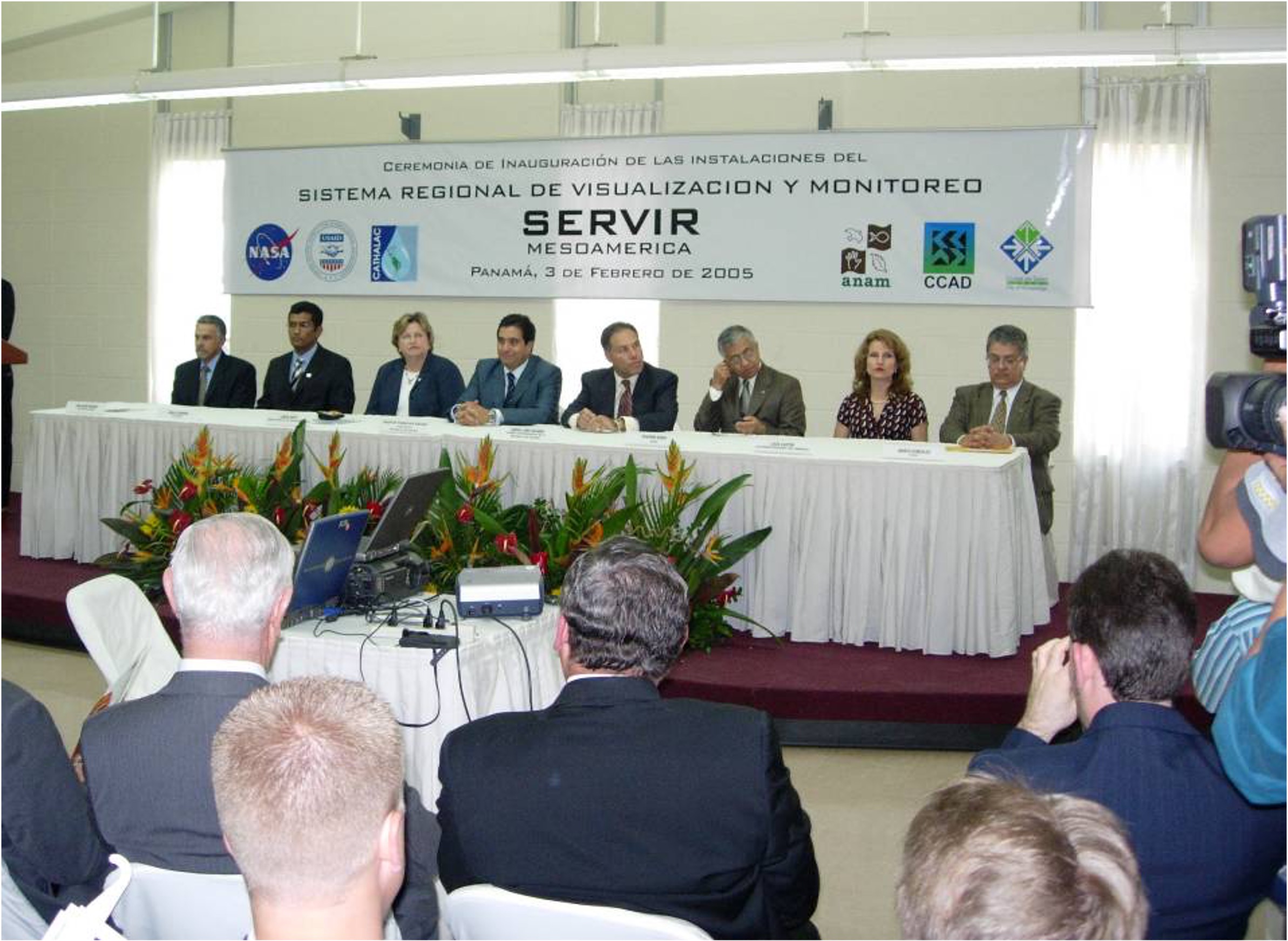
2005
SERVIR Mesoamerica -- first known as the Mesoamerican Regional Visualization & Monitoring System -- was established in Panama, through the joint effort of NASA, USAID, and other partners. SERVIR’s name is derived from the Spanish word meaning "to serve." SERVIR-Mesoamerica operated until 2011.
2006
Carrie Stokes, USAID Geospatial Information and Technology Advisor, joined the program with the vision and plan to expand the SERVIR model to other regions.
2007
The Ministerial Declaration of the 2007 Earth Observation Summit recognized SERVIR as a model for the implementation of the Global Earth Observation System of Systems (GEOSS).
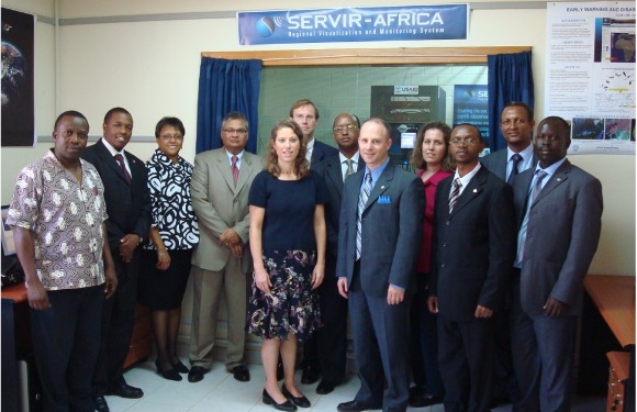
2008
SERVIR expanded to East Africa through partnership with the Regional Centre for Mapping of Resources for Development (RCMRD) in Nairobi, Kenya. This hub is called SERVIR Eastern and Southern Africa.
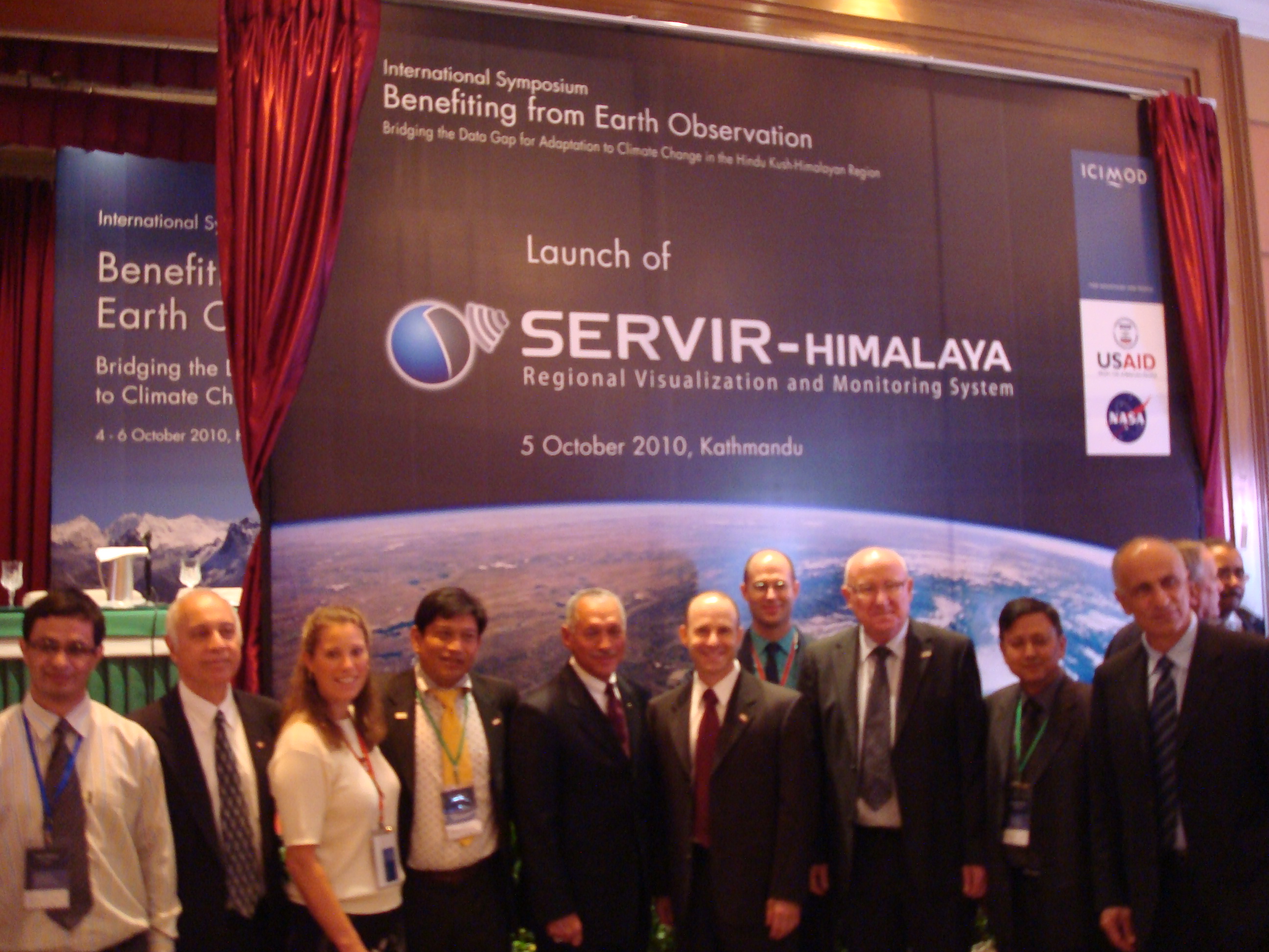
2010
SERVIR Hindu Kush-Himalaya was established in partnership with the International Centre for Integrated Mountain Development (ICIMOD) in Kathmandu, Nepal.
2014
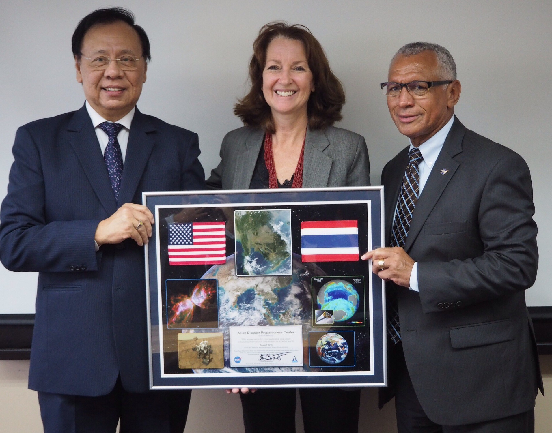
SERVIR Mekong was launched in Bangkok, Thailand with the support of the Asian Disaster Preparedness Center (ADPC) and consortium partners.
2016
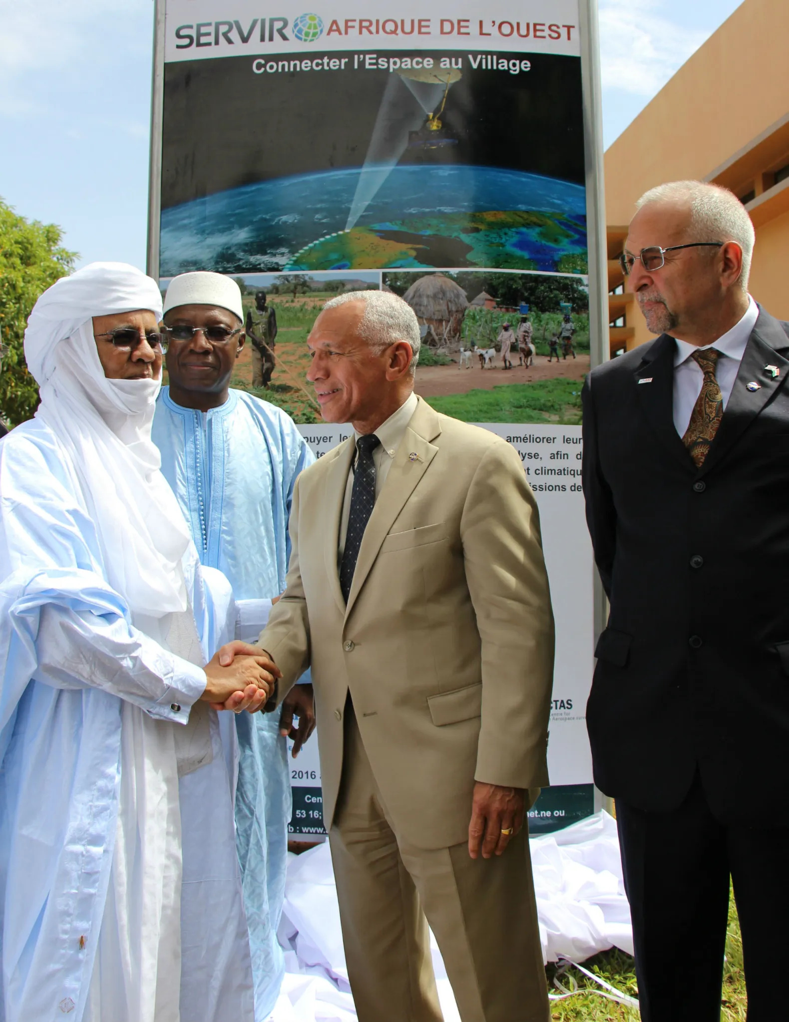
SERVIR West Africa became the fourth SERVIR hub. The consortium was originally implemented by the Permanent Inter-State Committee for Drought Control in the Sahel (CILSS) subsidiary, the Agrometeorology, Hydrology and Meteorology (AGRHYMET) Regional Center in Niamey, Niger.
2019
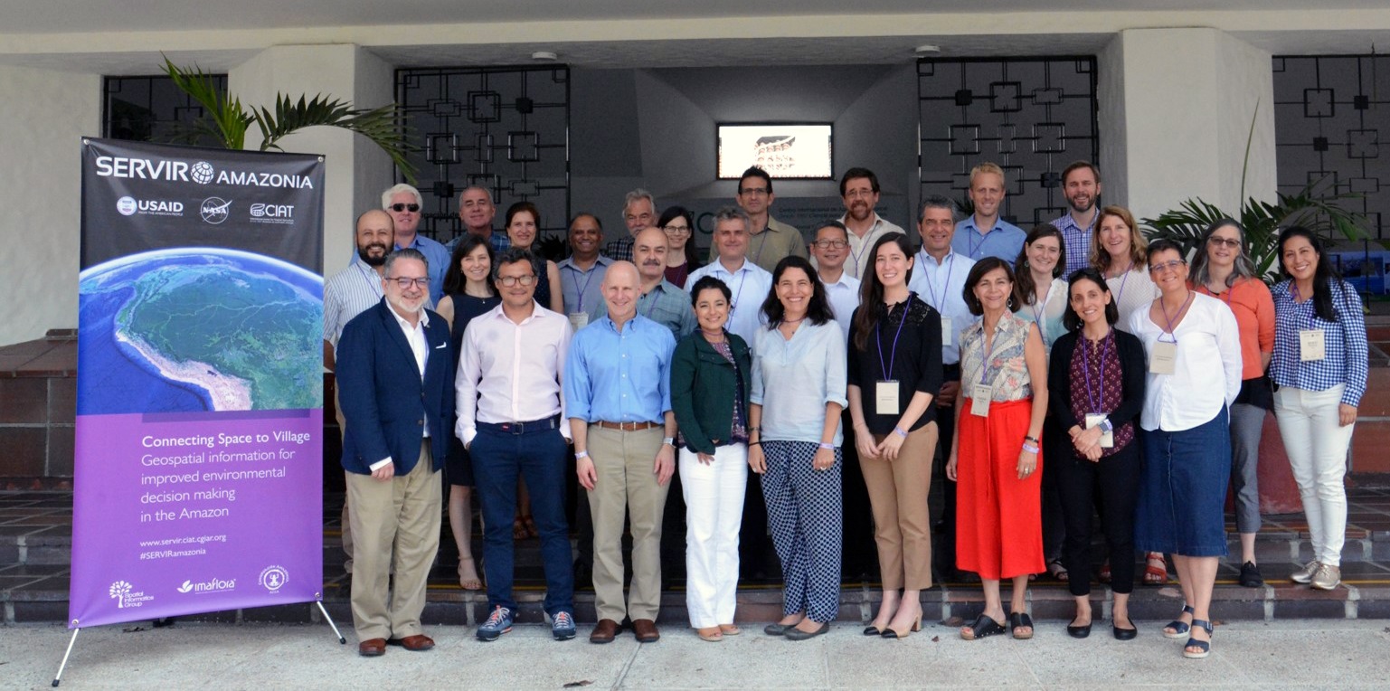
SERVIR Amazonia was launched by the Alliance of Bioversity International and the International Center for Tropical Agriculture (CIAT) in Cali, Colombia with a consortium of partners.
2020
NASA and USAID reaffirmed their commitment to SERVIR and signed the 2020-2025 Strategic Plan.
2022
The SERVIR West Africa consortium expanded, with the International Crops Research Institute for the Semi-Arid Tropics (ICRISAT) becoming the new lead organization for the consortium.
2023
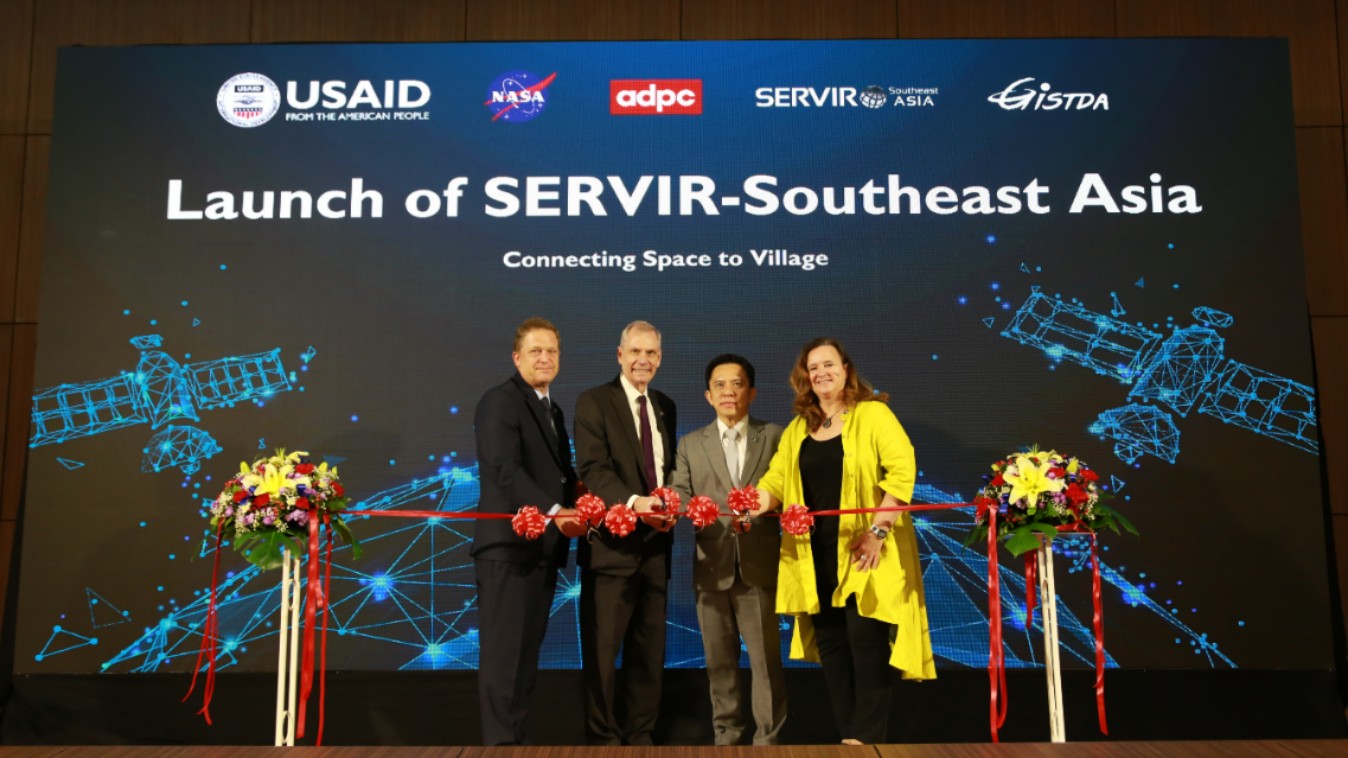
SERVIR Southeast Asia is re-launched as an expansion of SERVIR Mekong, extending the hub’s scope to include the wider region.
Over the years, the progress of this program would not have been possible without the outstanding contributions and support of USAID’s Jenny Frankel-Reed, Albert Momo, Kevin Coffey, and USAID mission colleagues, and NASA’s Woody Turner and Lawrence Friedl, as well as SERVIR project managers Gwen Artis, Jason Kessler, Tia Ferguson, Cindy Stemple, and Ray French.