
SERVIR West Africa promotes the use of publicly available satellite imagery and related geospatial tools and products to help key stakeholders and decision makers in the region make more informed decisions in four areas: agriculture and food security; water security; weather and climate resilience; and ecosystems and carbon management. To accelerate outcomes in these service areas, SERVIR West Africa is also developing innovative financial instruments.
Implementer: The SERVIR West Africa hub consortium is led by the International Crops Research Institute for the Semi-Arid Tropics (ICRISAT), with their main regional offices in Bamako, Mali. ICRISAT, a CGIAR Research Center, is a non-profit, non-political public international research organization that conducts agricultural research for development in Asia and sub-Saharan Africa.
Additional consortium members include:
- African Regional Institute for Geospatial Information Science and Technology (AFRIGIST)
- Agrometeorology, Hydrology and Meteorology (AGRHYMET) Regional Center
- African Institute for Mathematical Sciences (AIMS)
- Centre for Remote Sensing and Geographic Information Services (CERSGIS)
- Centre de Suivi Ecologique (Ecological Monitoring Center) (CSE)
- Institut Superieur D’Etudes Spatiale et Telecommunications (Higher Institute for Space Studies and Telecommunications) (ISESTEL)
- Columbia University
- University of Florida
SERVIR West Africa’s current program launched under the leadership of ICRISAT in 2022. Previously, the hub was implemented by the Permanent Inter-State Committee for Drought Control in the Sahel (CILSS) subsidiary, the Agrometeorology, Hydrology and Meteorology (AGRHYMET) Regional Center in Niamey, Niger, with the support of Tetra Tech, Inc. from 2016 to 2022.
Countries: Burkina Faso, Ghana, Mali, Niger, Nigeria and Senegal
-
Flash Flood Vulnerability Mapping in West Africa
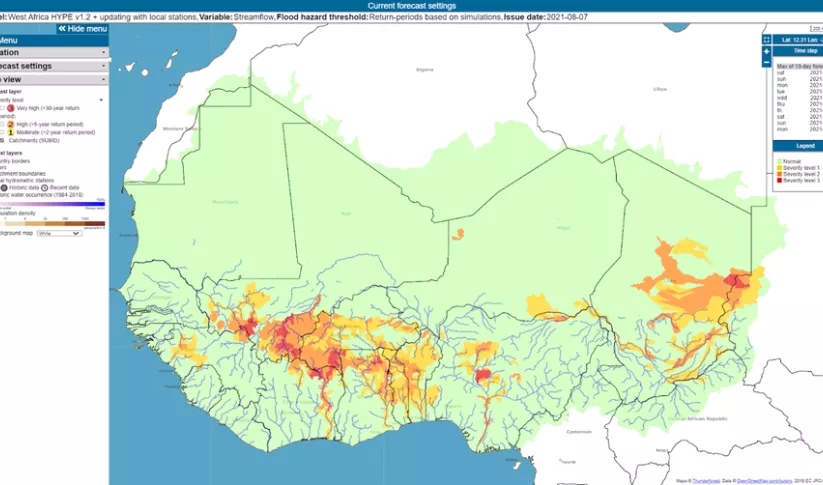
The Flash Flood Vulnerability Mapping service focuses on improving flash flood vulnerability mapping and early assessments of the potential socioeconomic impacts of anticipated floods.
-
Monitoring Ephemeral Water Bodies in Ferlo, Senegal
The Monitoring Ephemeral Water Bodies in Ferlo, Senegal Service is a web-based platform for assessing water availability in all known ponds, thus facilitating water management in arid areas such as the Ferlo Region of Senegal.
-
Monitoring of Artisanal Mining (Galamsey) in Ghana
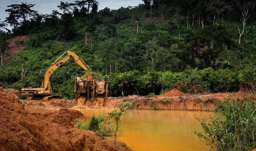
The Monitoring of Artisanal Mining (Galamsey) in Ghana Service is a monitoring platform with information on the location of illegal mining sites across Ghana and their associated land degradation.
-
Sub-Seasonal to Seasonal Forecasting
This service focuses on the production of seasonal crop-related weather forecasts for improving the quality of products disseminated to end users such as farmers.


-
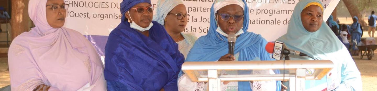
SERVIR Clubs: Transforming STEM Education and Gender Equity in Senegal
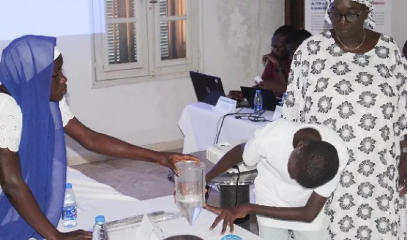
SERVIR West Africa created youth clubs to provide an inclusive space where all students, especially girls, can explore and gain skills in Science, Technology, Engineering, and Mathematics (STEM) and gain exposure to environmental monitoring tools such as geographic information systems, remote sensing, and other digital technologies.
-
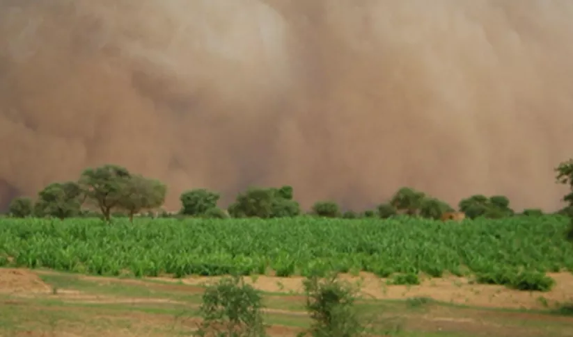
Extending forecasts from days to over a month improves farmer resilience in West Africa
When irrigation isn't available, it's important to know when to expect rain. But with changes to our climate, farmers in West Africa can no longer count on a predictable weather. To mitigate this, SERVIR West Africa works with AGRHYMET to improve access to reliable weather and crop forecasts.
-
Could Satellites Help Head Off a Locust Invasion?
A single desert locust can consume its body weight in vegetation in one day. When 40 million of them gather, they can devour as much food as 35,000 people.


-
Fact Sheet: SERVIR West Africa 2
This fact sheet provides and overview SERVIR West Africa phase 2 implementation, which includes a consortium of seven regional institutions in Burkina Faso, Ghana, Niger, Nigeria, Mali and Senegal.
-
Video: Fighting Deforestation in Ghana with Earth Observations
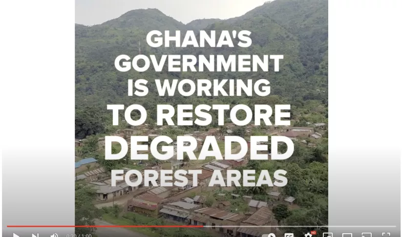
Ghana is home to some of the most biodiverse and carbon-dense forests in the world. But more than a third of them have been lost in recent decades.
-
Use Case: A Rocha Ghana
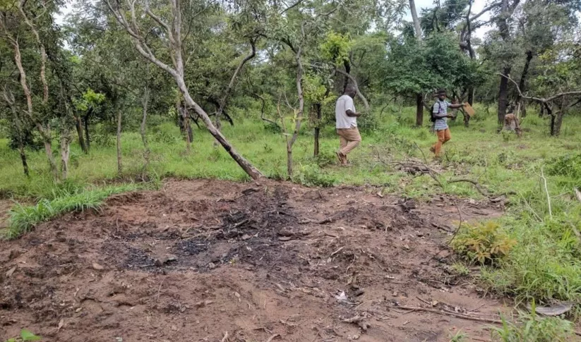
A Rocha Ghana (ARG) is an established environmental organization in Ghana that helps communities adapt to their changing natural environments. It currently works in the West Gonja District in northern Ghana where charcoal production is widespread.


