
Ecological Modeling Service
The Ecological Modeling Service uses MODIS land cover data, SRTM elevation data, derived products, including the Normalized Difference Vegetation Index (NDVI) and Enhanced Vegetation Index (EVI), and modeling techniques, including MaxEnt to better understand the distribution and spread of invasive species. These data help characterize the landscape to understand where invasive species thrive. Using this information, the models can predict their potential expansion using future climate projections, like those provided by WorldClim.
Mapping, modeling, and predicting the distribution of invasive species is central to controlling their spread and mitigating the impact of biological invasions. Invasive species have major impacts on human health, food security, and livelihoods. Understanding the distribution of a species in space, and identifying areas of invasion, or ‘hotspots’, is extremely useful in prioritizing and planning the conservation and management actions of landscapes. This service provides data on mapping, monitoring, and assessing invasive species to local governments to support measures to prevent the loss and degradation of biodiversity and ecosystems due to the spread of the invasive species, particularly as they impact poor and vulnerable communities.
Rationale
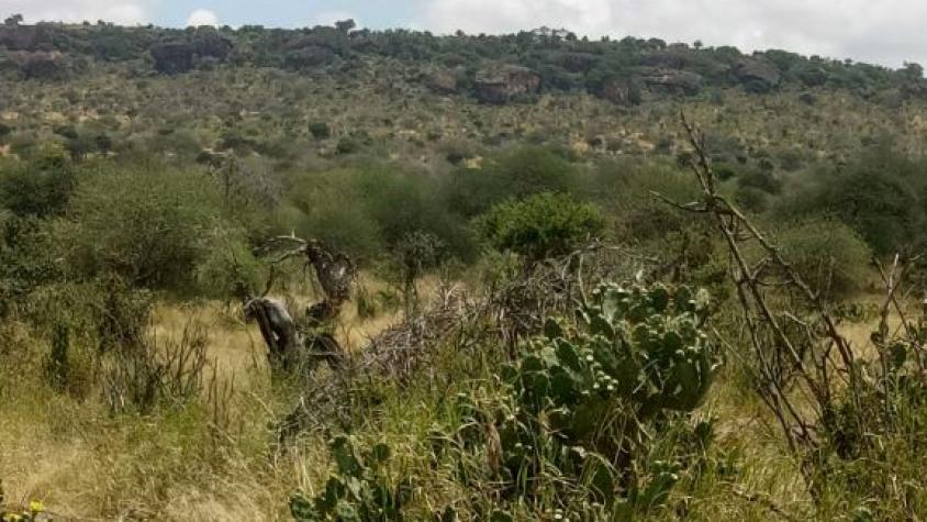
Kenya has had several invasions of alien species that have had negative impacts on biodiversity, agriculture, and human development. Continued spread of these invasive species has caused environmental and socio-economic losses, especially to the well-being of communities inhabiting the dry regions of Kenya. In recent decades, the northern Kenya rangelands have experienced increased infestation by various invasive plant species and shrinking forage space available for both livestock and wildlife, decreasing the health of livestock herds and increasing human wildlife conflict. For instance, prickly pear (Opuntia species) outcompetes native plants, precludes grazing and browsing near it, and inhibits the proliferation of indigenous species. Maps or information regarding the current distribution of invasive species in Kenya do not exist, making management decisions challenging.
-
Users
Northern Rangeland Trust
Laikipia Wildlife Forum
Lewa Wildlife Conservancy
Zoological Society of London
Kenya Wildlife Service, Marwell Wildlife
County Government of Laikipia
State Department of Livestock
World Agroforestry (ICRAF)
GSD innovations