
Increase the Protection of Forests Managed by Community-based Initiatives in the Brazilian Amazon (TerraOnTrack)
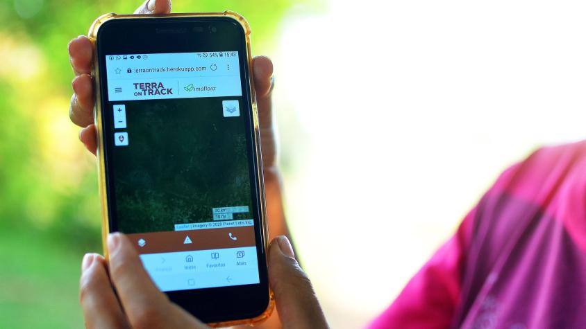
The TerraOnTrack (Increase the Protection of Forests Managed by Community-Based Initiatives in the Brazilian Amazon) service is a web application that allows traditional communities and indigenous people to quickly identify potential threats to their territories and monitor illegal activities on the ground, which in turn will increase forest protection and territorial management capacity. The service contributes to community-based initiatives and will initially focus on the north region in the Para State where there are several protected areas, indigenous people, and territorial projects running. It will be applied in territories managed by traditional communities and indigenous people currently involved in a consultation process.
The service is divided into three main components:
- Accessibility to geographic bases and legal limits made available by Brazilian government agencies, in a simple and systematic way, promoting a common understanding of the territory to which the individual and his community are inserted
- Opportunity for any member of communities and villages to input alerts (primary data) via a cell phone, helping to map and monitor topics such as deforestation, application of chemical agents, illegal mining, and forest degradation within the domain areas of the communities. For this, the system will rely on an advanced set of satellite and radar data (geographic bases - National Institute for Space Research - INPE, Planet Basemap)
- Developing a web-based platform with near-real-time deforestation and degradation alerts to help communities monitor the land-use change in their territories and government bodies in identifying indicators and decision-making
Rationale
Timely information on deforestation and forest degradation can help communities target their protection efforts against invasion and illegal activities such as land grabbing, mining, and illegal logging. However, the areas where forest communities live in the Amazon are vast, making it difficult for the communities to monitor their lands. Community-based initiatives and development projects running in the Brazilian Amazon could benefit from the use of satellite data and tools to improve their territorial knowledge and support the planning of their activities on the ground.
-
Users
There is potential for dissemination of the tool to up to 180 organizations identified by Imaflora and partners in the Brazilian Amazon
-
SERVIR Amazonia News/Resources
-
External News/Resources
Aplicativo irá ajudar comunidades da Amazônia a combater ameaças à floresta
Conheça os apps que contribuem para a conservação da Amazônia
Aplicativo promete ajudar no monitoramento do desmatamento na Amazônia (video)
'TerraOnTrack': Imaflora lança aplicativo para ajudar no monitoramento da Amazônia (video)
Aplicativo para monitorar e alertar sobre desmatamentos terá alcance ampliado na região amazônica
Como o TerraOnTrack Pode Ampliar o Alcance do Monitoramento do Desmatamento na Amazônia
Aplicativo irá ajudar comunidades da Amazônia a combater ameaças à floresta
Aplicativo de ONG piracicabana realiza monitoramento do desmatamento na Amazônia
