
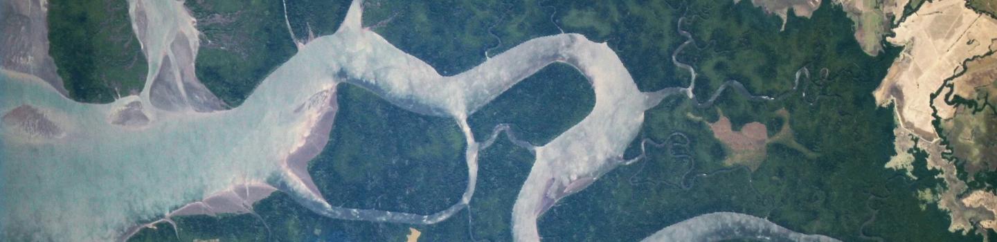
Every 24 hours, the International Space Station (ISS) orbits the Earth 16 times, providing a view of much of our planet's populated area. SERVIR put that vantage point to good use in 2013 and 2014 with a special camera, the ISS SERVIR Environmental Research and Visualization System (ISERV).
ISERV was primarily intended to help scientists gain valuable information about how a more capable future instrument might operate, but it accomplished much more. It acquired over 175,000 images of Earth, including critical disaster photos, many of which were made available to the International Charter for Space and Major Disasters for use in disaster response and assessment.
The team consisted of Burgess Howell, Prototyping Lead / Lab Manager; Jaganathan Ranganathan, Research Scientist, and Paul Tatum, ISERV Lead Systems Engineer.
Learn more:
-
First Light for ISERV Pathfinder, Space Station's Newest 'Eye' on Earth (NASA)
-
International Space Station SERVIR Environmental Research and Visualization System V1 (NASA)
-
New ISERV Tool Enables Rapid View of Earth Images from Space (NASA)
-
USGS EROS Archive - ISS SERVIR Environmental Research and Visualization System (ISERV) (U.S. Geological Survey)
- International Space Station's New Earth Observing Camera: ISERV (YouTube)