
Cloudy Days Don't Stop Costa Rica's Land Cover Scientists
Rainforests are some of Earth’s most vulnerable ecosystems, but also some of the most difficult to monitor. With support from SERVIR, experts in Costa Rica are increasingly using radar to see through the clouds that make rainforests so hard to study. What they learn may help guide other countries in the future.
Seeing Through Clouds
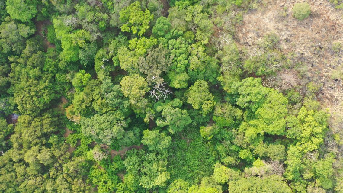
Research on rainforests and other tropical ecosystems often requires mapping the landscape with aerial or satellite photography, but that comes with a deceptively simple problem: clouds. Rainforests are cloudy so often that it becomes incredibly difficult to get a good view of them from above. If one image is cloudy, many Earth-observing satellites may take days or weeks to orbit back to that exact position for another chance. If clouds block most flyovers, then experts using those satellites may only get a handful of clear images each year.
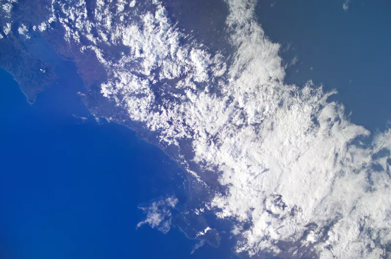
Costa Rica is one of a number of countries that are starting to use synthetic aperture radar (SAR) to study and monitor their landscapes. While optical satellites function like cameras, SAR satellites bounce soundwaves off of Earth’s surface to “feel” the ground. Soundwaves pass through clouds, allowing SAR to map landscapes even during cloudy conditions or at night. This means that Costa Rica’s National System of Conservation Areas (SINAC), together with local universities and environmental organizations, have more frequent, detailed maps of the country’s landscape.
“SAR is a tool that we need to take greater advantage of,” said Mauricio Castillo, Director of the Land Information Department at SINAC. “In Costa Rica...it was almost impossible to obtain a complete cloud-free image of the whole country even once in a year. Radar opens up an opportunity [to study] ecosystems like wetlands that have characteristics that we think could be relatively easy to detect with radar.”
Expanding Access
Several Costa Rican organizations are already incorporating SERVIR’s SAR resources into their work, including using SERVIR's SAR Handbook and participating in SERVIR training events. According to Castillo, SAR-based maps will be used to help the country meet an official policy to maintain 90% forest coverage within its national protected areas. His team at SINAC is also using SAR to estimate the carbon stored by the country's forests and recognizes that it could be useful to plan biological corridors to protect the country’s biodiversity.
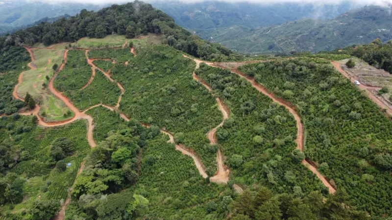
Daniel Villavicencio, SINAC’s Project Coordinator, noted that there are additional SAR applications for supporting Costa Rica’s coffee-growers: “They are required to delineate the exact areas where they are growing coffee. The map gives them data so they can correctly mark off their areas of production. Costa Rica is famous for coffee and it is typically grown under trees, which can create confusion for mapping forest versus coffee.”
Future Applications
As SAR expands in Costa Rica and other parts of Latin America, SERVIR and NASA are taking steps to better support geospatial experts across the region. SERVIR is planning to open a new hub in Central America this year and NASA is scheduled to launch NISAR, an advanced SAR satellite, in March 2024.
“We’re excited about other NASA work, like NISAR,” said Cristian Aguilar, a consultant for the UN Development Programme in Costa Rica who has trained students in SAR. “We are excited and optimistic about the future of this technology.”
“I want us to improve in visualization so we can share better information with people without technical backgrounds, so they can get information in a more interactive way,” said Dr. Mauricio Vega-Araya, who leads the Remote Sensing Laboratory for Ecosystems at the National University of Costa Rica. “I feel that this mapping process we initiated has great opportunity for improvement and growth, and I’m proud to be sharing this with others. Sharing this motivates us to improve our work.”
As radar-based mapping becomes more accessible, Earth science can adapt to the unique needs and goals of rainforested regions around the world. As Costa Rica develops new uses for SAR, it wants to share the lessons learned to support other countries–both in Latin America and elsewhere.
