
Inclusive Climate Action Benefits Everyone: Stories from GeoFem
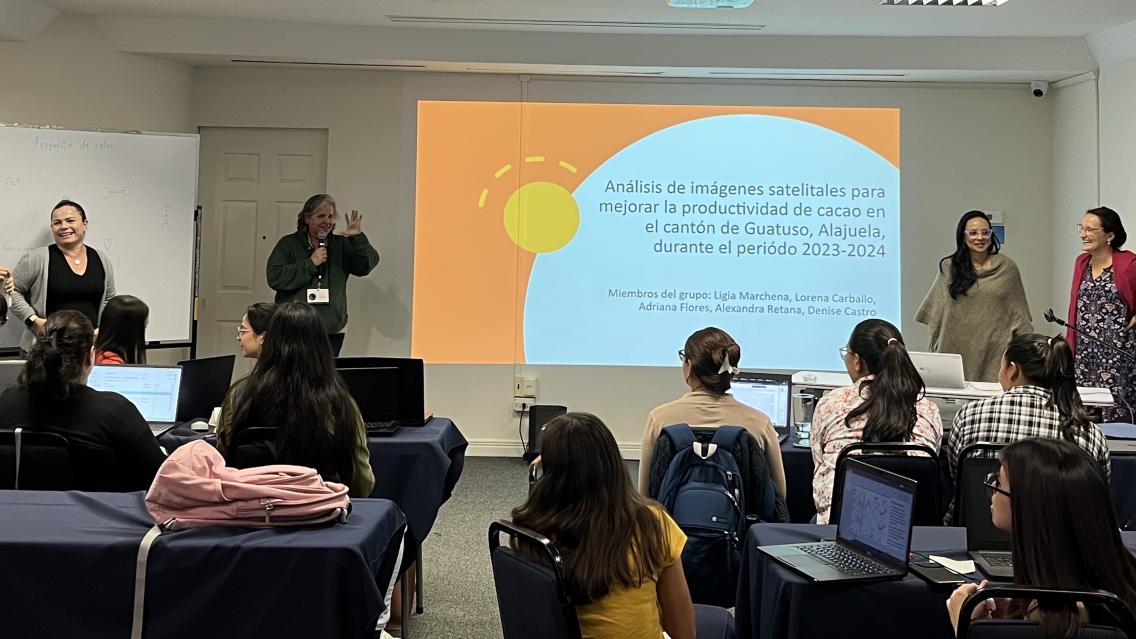
In Costa Rica, the GeoFem workshops create a supportive environment for women to combine their unique knowledge and experiences with Earth science technology. During the workshop, women design a “prototype,” or project for climate action. With these prototypes in hand, the GeoFem participants go on to be extremely effective in addressing climate issues in their communities. The following stories demonstrate how, when women are empowered to use Earth science in community decision-making, everyone benefits.
Women as Protectors: María Barrantes and Water Shortage Mapping
María Barrantes works at her local ASADA (water management board). She noted that even though women participate in ASADAs, they are rarely trained on the science or technology needed to make water management decisions. She was initially intimidated by the new technology at GeoFem.
“Technology is usually seen as being more for men; girls have dolls, boys have video game controllers. This stereotype can sometimes stay with us as adults.” María shared. “The name ‘geospatial’ made things seem difficult, but the tools were more difficult to pronounce than they were to learn.” María soon realized that, with these new technologies, she could support her community in new and better ways.
María echoed a common theme that other GeoFem participants shared; women are protectors of communities and the environment. She shared that women in the field of water management have a profound understanding that protecting water sources is essential to protecting the lives of families (in our first Gender Equity Miniseries installment, we explored how women are often tasked with making sure households have access to clean drinking water). With this in mind, Barrantes used geospatial tools to create a map of communities who might be especially vulnerable during water shortages, such as pregnant women, young children, and elders. Now, during a water shortage, the ASADA can determine which communities need the most immediate assistance. By learning geospatial tools, María Barrantes was able to use her unique understanding of her community to support climate resilience.
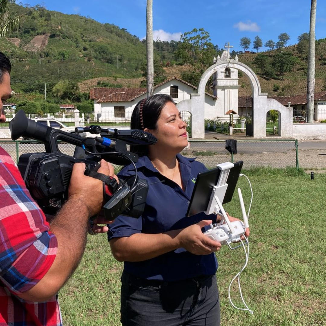
| María Barrantes is now one of the first women in her ASADA (local water management board) who is drone certified, which means she can gather more data for water management decisions. (credit: María José Molina/Rally Femenino de Tecnologías Geoespaciales) |
Translating Information into Action: Antonia Campos and Beach Contamination Mapping
Antonia Campos is a volunteer firefighter, architect, and former worker for the Tamarindo Beach ASADA. Antonia noticed that many of the businesses along Tamarindo Beach were disposing of their wastewater by letting it flow directly into the ocean. As a woman in a predominantly male ASADA, she realized that she not only needed evidence to back up her observation, but she needed to come prepared with solutions.
As part of the prototype that they designed at GeoFem, Antonia and her female colleagues created a crowdsourced map where users can upload a simple photo, location, and description of the businesses that were sending wastewater out into the ocean. With this map in hand, they were able to approach each business to discuss solutions for more sustainable wastewater uses. For example, they worked with some businesses to create biogardens, where water can be filtered through the rocks and soil of a garden and repurposed for uses like cleaning.
Antonia was grateful that the GeoFem training prepared her to share what she learned with her community: “The projects [from GeoFem] are beneficial for everyone. Transmitting the information to other women is very positive, and to men too!”
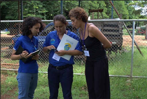
| Antonia Campos and her prototype team during the GEOFEM training in 2019. (credit: María José Molina/Rally Femenino de Tecnologías Geoespaciales) |
Inclusive Solutions: Mónica González and Indigenous Tourism Mapping
Mónica González participated in GeoFem’s first workshop held exclusively with women from Indigenous territories. Mónica is a member of the Boruca community, and has worked with geospatial technology in an academic setting. However, she always thought of geospatial tools as inaccessible, because they were expensive, overly complicated, or all in English. She also noted the additional barriers that exist for her collective identities: “There is a stereotype that we as women, or as young people, or as Indigenous people, cannot develop or manage these types of projects or tools. . . [but] we always translate learning into action that supports everyone in our community.”
More than 80% of Mónica’s community is involved with tourism, but Mónica recognized the barriers for women and other often-overlooked groups to access the technology needed to set up an official business webpage. Because of this, visitors may not know how to engage in tourism in ways that support the local community and environment. For her prototype, Mónica created a map of Boruca tourism businesses, such as ecotourism and artisanal vendors. The community responded well to the initiative and worked with Mónica to make sure that the map was inclusive of everyone. Now, Mónica is working with María José and the GeoFem organizers to lead her own GeoFem workshops with fellow Indigenous women.
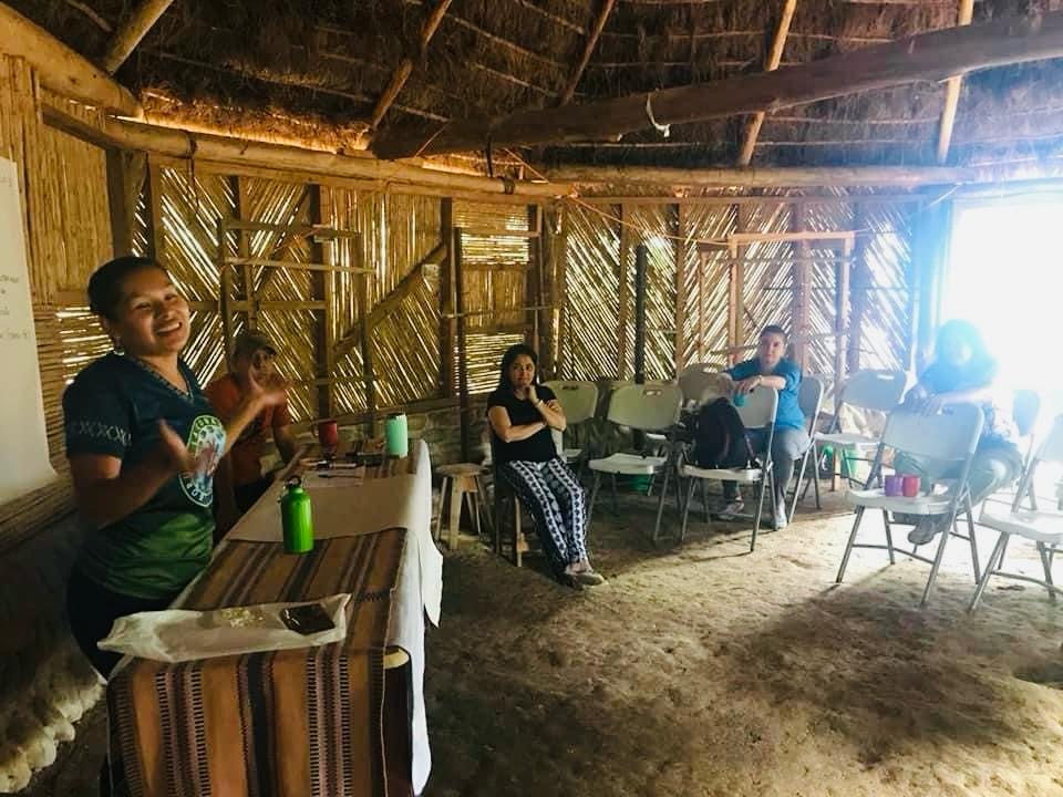
| GeoFem participant Mónica González consults with members of the Boruca community. Through her leadership, she worked to create inclusive maps of local tourism to support Indigenous-led businesses. (Photo credit: Mónica González/Boruca Indigenous Community) |