
Locally Led Development Drives Climate Action at the SERVIR Eastern and Southern Africa Hub
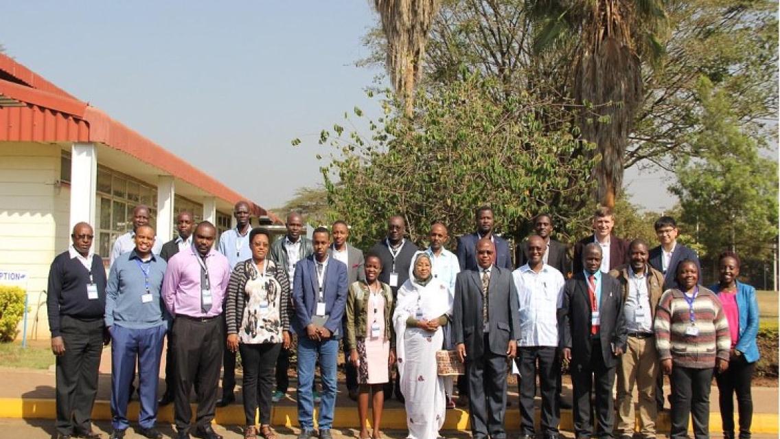
The SERVIR Eastern & Southern Africa (SERVIR E&SA) hub is based at the Regional Centre for Mapping of Resources for Development (RCMRD) in Nairobi, Kenya1. RCMRD is a well-established institution with strong relationships and reach throughout the region, including its 20 affiliated member States. SERVIR E&SA builds on these relationships and complements RCMRD’s core mission by augmenting data management and training capability and providing a springboard for the development of services customized for member States and stakeholders therein.
Below are a few examples of how the SERVIR Eastern & Southern Africa hub is working with local governments and communities to address causes and consequences of climate change by strengthening food security, water resource management, hydroclimatic disaster preparedness and response, and land use management.
Mapping System for the Kenya Crop Insurance Program
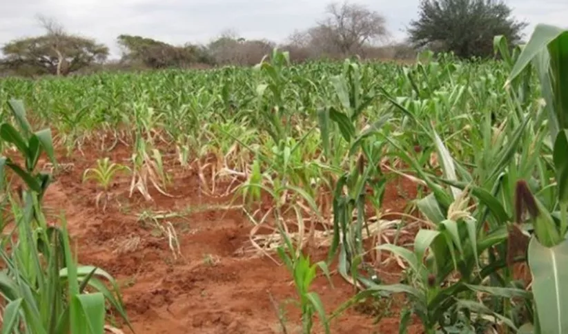
In partnership with Kenya’s Ministry of Agriculture, SERVIR E&SA has established a new satellite-based crop mapping system and sampling methodology to support the Kenya Crop Insurance Program. Nearly 75% of Kenya’s population makes a living through farming. Crop insurance can help stabilize incomes and reduce food insecurity by providing a safety net to farmers during periods of drought and crop failure. Previously, the insurance program relied on fieldwork assessments, which were time consuming, expensive, and subject to bias, and did not capture the range of variation across all farm plots. Now, using satellite-generated crop maps, the Ministry of Agriculture employees can go directly to where maize is grown and measure crop yields in pre-identified sample plots. Samples are used to create average yields, which are then compared to historical yields. When these yields fall below average thresholds, insurance is paid out on a sliding scale based on the size of the insured farmer’s plot. Crop insurance assessments can now be processed in one day (rather than one week) and are 70% less expensive to operate. These efficiencies have enabled the Ministry to expand this insurance program from 10 counties to all 27 agriculturally important counties in Kenya. More than 425,000 farmers are insured today.
Analysis of Crop Production for the Government of Kenya
In Kenya, SERVIR E&SA worked with local institutions to develop an updated crop mask for Kenya, which shows the land under use for crop production in the country. This updated map and methodology helped the Government of Kenya to significantly reduce time and resource costs and sampling error associated with the previously used manual sampling process. The Famine Early Warning Systems Network (FEWS NET), which advises the government on crop health and food security, also relies on improved digital maps to identify areas covered by crops that may be at risk of plant health hazards such as pests and diseases.
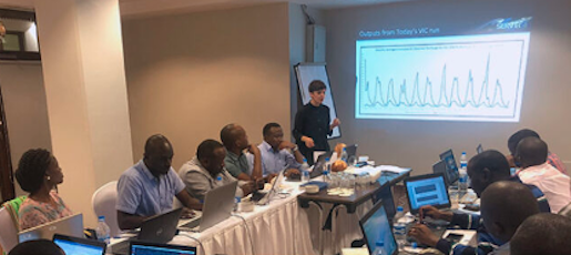
Capacity Building for Tanzania Stakeholders on Estimating Streamflow
In Tanzania, SERVIR E&SA offered training to Tanzania stakeholders on the use of satellite data and hydrological models for estimating streamflow, which helps with water resource planning. The hydrologists in Tanzania were equipped with skills on how to use the Variable Infiltration Capacity (VIC) model for different sub-basins. Estimating discharge over time with satellite data will save resources and allow hydrologists in the region to better understand long-term basin characteristics for improved management practices. Tanzania experiences high and low extremes with intense drought or floods with the changing of seasons. These anomalies threaten agricultural production and livelihoods in the region as populations grow, pollution increases, and disasters are more devastating. Monitoring and modeling water resources can help local governments and organizations to plan ahead and respond more efficiently.
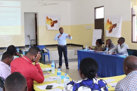
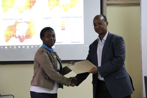
Vulnerability Mapping for the USAID/Tanzania's Water Resources Integration Development Initiative (WARIDI)
In Tanzania, SERVIR E&SA supported the USAID/Tanzania’s Water Resources Integration Development Initiative (WARIDI) to conduct a series of vulnerability mapping exercises and help improve the management of the Wami-Ruvu and Rufiji water basins. The hub worked with river basin managers, climatologists, and local government officials to analyze 14 climatological, agriculture, environmental, and social data sets. The outputs of this work, which included the training of local officers, was instrumental in ensuring that limited resources can be prioritized and invested in conservation of river basins, thus ensuring water access and availability.
Evidence-based Decision Making for the USAID PREPARED Program in the Lake Victoria Basin
In the Lake Victoria Basin, the USAID-funded PREPARED program built the capacity of regional institutions, national governments, and communities to use evidence-based decision-making to cope with uncertainty. East Africa is highly vulnerable to climate variability and change, with the key sectors and drivers of the region’s economy and community’s livelihoods at risk of being severely impacted. SERVIR E&SA worked with PREPARED to generate vulnerability impact maps for the Lake Victoria Basin, a process that was supported by local institutions and scientists.
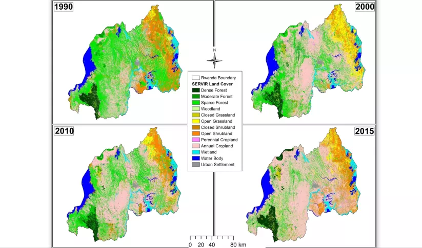
Land Use Land Cover Maps for the Government of Rwanda
In Rwanda, SERVIR E&SA worked with Rwandan government officials to generate land use land cover maps which were originally intended to help the country monitor and report its “Nationally Determined Contributions.” In addition, the maps and data were used to make other land management decisions, including planning ecosystem restoration and protecting against disasters.
Learn more about how SERVIR’s locally led development is driving climate action across its five hubs: Out in Front: How SERVIR's Locally Led Development is Driving Climate Action.
-
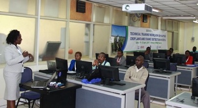
Land Use Land Cover and Change Mapping Service for Eastern and Southern Africa
The Land Use Land Cover and Change Mapping Service was designed to provide governments with data, tools, and skills to better understand relevant intervention actions related to land conservation and management, ensuring that land resources can be efficiently monitored and regulated.
-
Regional Cropland Assessment and Monitoring Service
The Regional Cropland Assessment and Monitoring Service seeks to provide timely information for food security assessments through the development of national and regional crop monitors in East Africa.

