
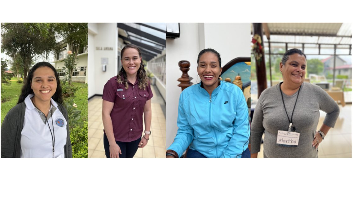
Meet four GeoFem workshop participants
The GeoFem: Women in Geospatial Technologies workshop was hosted and organized by the Inter-American Institute for Cooperation on Agriculture (IICA) and the Central America Aerospace Network (RAC) in San José. The workshop, held in partnership with SERVIR, NASA Harvest, and Brigham Young University (BYU), convened students and professionals in geography, agriculture, and natural resource management. Read more about the workshop.
Meet four of the workshop participants below.
Martha Montero
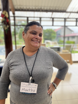
Martha Montero is one of the GeoFem participants who is well-versed in geospatial services for climate resilience. Martha works with CENAT, the National Center for High Technology, where she uses satellite imagery to help explain and contextualize weather information for communities across the country. She shares web posts, texts, and Facebook posts, catering information to different communities, such as letting farmers know how a rainstorm might impact their soil.
Martha is excited to integrate GEOGloWS into her work. During the workshop, she noticed how accurate the tool was in documenting previous flood events in Costa Rica: “The historic flood peaks in GEOGloWS perfectly aligned with the times I’ve seen the most flooding in my community.” She believes that GEOGloWS historic climate data can help to improve her current flood alert systems. Martha is now completing her Master’s in Climate Change studies, and hopes to use GEOGloWS in her thesis research.
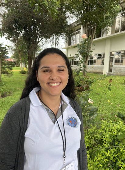
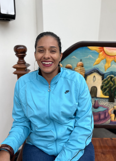
Sabrina Alvarado
GeoFem participant Sabrina Alvarado is an agronomist and organizing member of an all-women coffee grower cooperative. Despite Sabrina’s technical background in agricultural engineering and agribusiness, she had no idea that there were accessible, relevant geospatial technologies that could help farmers to better understand weather patterns and protect their crops.
Now that Sabrina knows about these geospatial tools, she wants to share them with her community. “The first day of the workshop, the organizers shared some learning resources with us. When I got home, I immediately registered for an online [Applied Remote Sensing Training Program] course. I want to continue learning and exploring this material.”
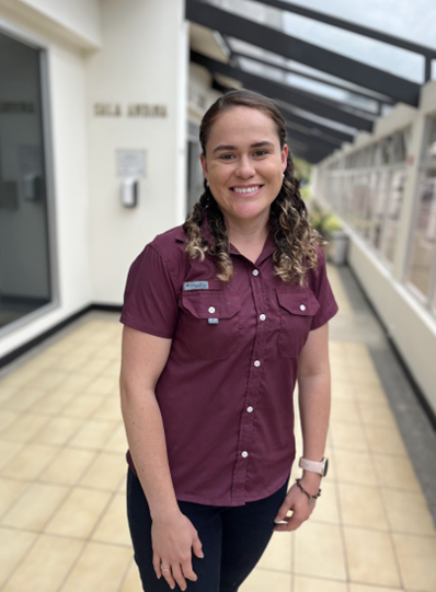
Alexandra Salazar
The GeoFem workshop engaged student mentors, referred to as “Godmothers,” who ensured that all participants, regardless of their technical background, had whatever support they needed as they explored how to use geospatial tools in their communities.
Alexandra Salazar, a geography student from the University of Costa Rica, attended the GeoFem workshop as a participant and returned this year as a Godmother. Alexandra grew up in a rural farming community in Costa Rica, and felt inspired by other participants to further engage with rural women. “I’d like to be a voice for the women in my community and in other communities who don’t have access [to geospatial information],” Alexandra explained, “I want to let people know that this technology exists, and they can use it to make decisions.”
Rosa Elena Naves-Alfaro
GeoFem participant Rosa Elena is a farmer and sustainable forestry engineer from a rural community in Costa Rica. She has served as the president of her local ASADA, or water management board, which is in charge of providing clean water for the entire community. As president, Rosa Elena worked to create a nearly all-women ASADA. Especially in rural areas, it is rare for women to participate in these decision-making roles. However, she explained that the women in her community are the ones who are responsible for making sure there is clean water for their household. When water quality becomes an issue, women in the community want to get involved to protect their families.
Rosa Elena commented that it is difficult for rural ASADAs to get access to the information that is needed for water management, and hiring a technical consultant is expensive. Now that Rosa Elena is trained in tools like GEOGloWS, she can become a consultant for her community. Rosa Elena’s vision is to make geospatial data more accessible for her community. “I can download and organize [GEOGloWS] information in a way that’s not overly complicated,” she explained. “Technical training should not be a barrier to natural resource management and advocacy.”
