
Telling the Story of Changing Land Cover in Namibia
Susan Malaso Kotikot, a Graduate Research Assistant with SERVIR, has created an interactive publication to describe and explain land cover changes that took place in Namibia between 2000 and 2010.
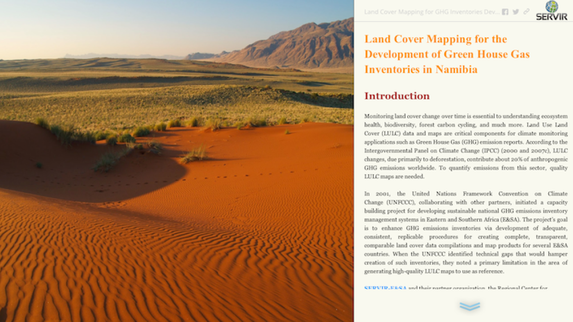
Tracing land cover change over time is key to understanding ecosystem health, biodiversity, forest carbon cycling, and much more. Land cover/land use data and maps are important for climate monitoring applications such as Greenhouse Gas (GHG) Emission reports. Land cover/land use changes, primarily from deforestation, contribute about 20% of natural GHG emissions. In Africa, changes in land cover are in fact the biggest contributor.
During 2012/2013, the Regional Centre for Mapping of Resources for Development (RCMRD)/SERVIR-Eastern and Southern Africa supported Namibia and five other African countries -- Malawi, Rwanda, Zambia, Botswana, and Tanzania -- in GHG emissions inventory by generating Landsat-derived land cover maps in close consultation with end-users in forest departments and environmental ministries. The maps feed into a broader project executed by the US Environmental Protection Agency (EPA) and the United Nations Framework Convention on Climate Change (UNFCCC) to quantify the GHG emissions inventory.
In addition to GHG emissions inventories, the maps are useful in many other ways. For example, the maps can be used for (1) monitoring and assessing land degradation, (2) informing decision-making on policy issues affecting climate change and environmental protection, (3) environmental monitoring, (4) land use planning, and (5) REDD (Reduced Emissions from Degradation and Deforestation) and REDD+ initiatives.
Malaso Kotikot’s publication uses the popular Esri © Story Maps format to present the land cover mapping results for Namibia in an attractive, easy to understand manner.
This story map can also be viewed at http://goo.gl/s2FFBj.
NOTE:
Malaso is working on a Master’s Degree in Earth System Science at the University of Alabama-Huntsville.