
Weaving Satellite Data into an Ecosystem of Farmer Support
At Kenya’s Ministry of Agriculture, Head of Food Crops Statistics Ms. Jane Kioko takes on the enormous task of compiling monthly crop data for the country. Small-scale farmers make up 75% of the nation’s agricultural output. As our climate changes, these farmers navigate more extreme challenges, like droughts and crop diseases. Through a collaboration between USAID and NASA, decision-makers like Kioko can use the birds-eye view of satellite tools to expand their understanding of the challenges that farmers are facing.
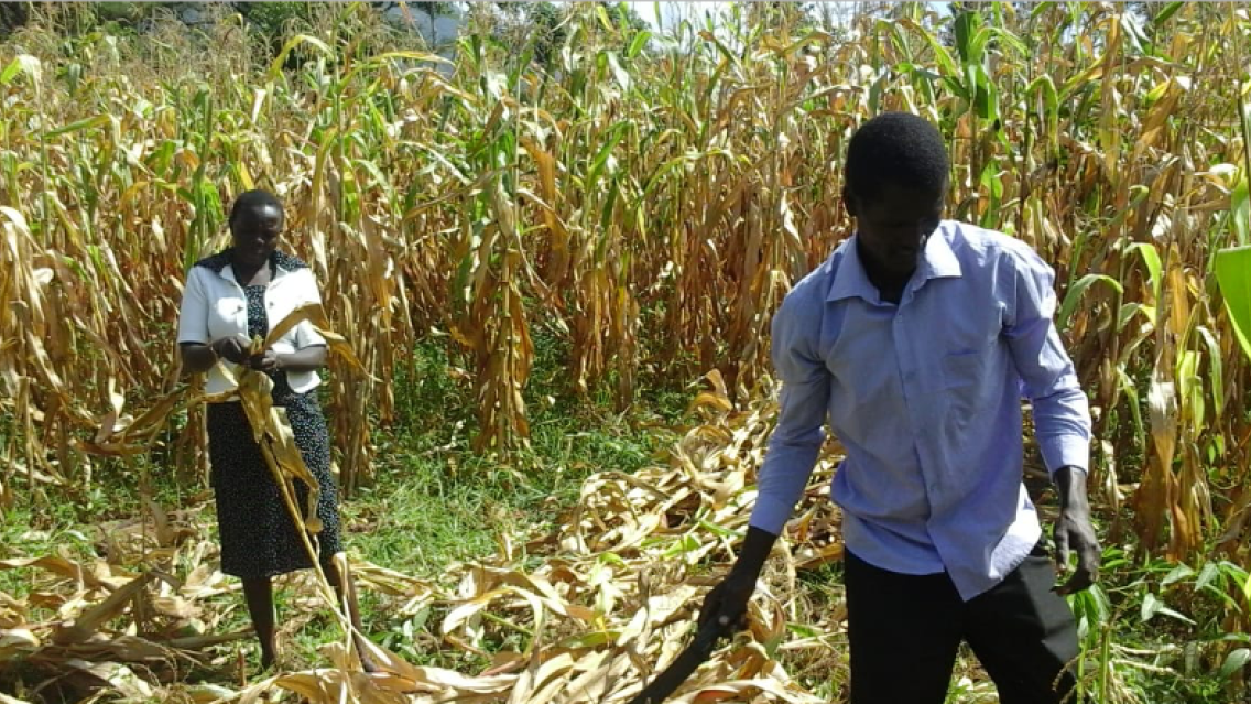
Kioko and her colleagues are connected to farmers through a broad network of county agricultural extension officers. These officers meet with farmers directly to provide resources and technical information, and report on farm conditions to inform national decision-making.
This approach to gathering information can be time-consuming. Often, less than a third of the needed data made it back to Ministry staff like Kioko. To know when to distribute support, such as insurance payouts after a drought, Kioko needs to access highly localized data, like rainfall and field-level crop yield estimates.
Enter Dr. Catherine Nakalembe, an Applied Sciences Team Principal Investigator for SERVIR. Nakalembe is an award-winning Assistant Professor at the University of Maryland and the Africa Director for NASA Harvest. Since 2016, Nakalembe has collaborated with Ministry staff in using satellite data to predict areas at risk for food shortages.
SERVIR is a collaboration of NASA and the U.S. Agency for International Development (USAID), partnering with organizations around the world to support locally led climate efforts with Earth data.
With SERVIR, Nakalembe helps to create country-specific versions of the regional Crop Monitors tool established through the Group on Earth Observation’s Global Agricultural Monitoring Initiative (GEOGLAM). Crop Monitors uses satellite data to capture a more expansive view of agricultural conditions. Nakalembe partners with agricultural ministries to combine satellite data with on-the-ground information to paint a clearer picture of where food security support is needed. Regional demand for improved crop monitoring is so high that the project now spans six countries: Kenya, Malawi, Rwanda, Tanzania, Uganda, and Zambia.
Nakalembe understands that to make these tools as useful as possible, they must be integrated into existing decision-making. Each country already has processes to gather and report on field conditions. Rather than adopt a new workflow, Nakalembe works with users to conveniently integrate the Crop Monitors tool into their own systems.
For example, Nakalembe and Kioko ensure that extension officers are actively involved in implementing the tools. Officers are trained to upload monthly field data to Crop Monitors, which Kioko can quickly assess to identify areas for intervention. Extension officers regularly share updates with Kioko which help to improve Ministry decision-making and refine Nakalembe’s work.
“There’s nothing better than getting a text message that says ‘When do you come back? When do we go collect data again?’” Nakalembe shared.
Ms Kioko referenced a 2022 outbreak of African armyworm when the Ministry used Crop Monitors reports to deploy resources like pesticides to avoid crop losses across approximately 2,100 km2.
“You’re much more confident with more sources of information than if only relying on one source of information…especially when it comes to pest infestation in the field, the officers are able to report through the Crop Monitor and [farmers] are able to get timely assistance from the government, which is critical,” Kioko said.
As droughts become more frequent, farmers are seeing the importance of crop insurance. In 2016, only 900 farmers opted into the national agricultural insurance program. By 2021, that number soared to nearly 300,000.
Nakalembe’s work continues to expand. SERVIR’s West Africa hub is integrating the tool in Senegal, and national Crop Monitors are being used to create Regional Food Balance Sheets, which help multinational decision-makers avoid food shortages. With the help of satellite data, USAID and NASA are amplifying the existing efforts of food security champions like Jane Kioko and her team.