Blog
SERVIR Scientists Improving Land Management Through Satellite Imagery
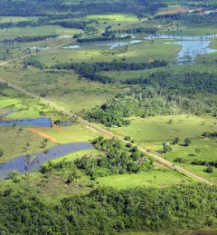
Innovations in land cover and land use change (LCLUC) mapping are some of NASA's most vital contributions to Earth science and sustainability. Since the launch of the first Landsat satellite in 1972, millions of images have been captured over the Earth's surface.