Articles & Stories
Small Satellites, Big Results: SERVIR integrates new high-resolution global datasets to improve environmental monitoring
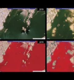
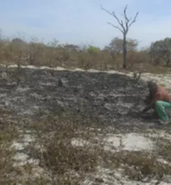
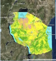
Collecting Earth observations over tropical forests comes with logistical challenges. While protection of these often highly-vulnerable ecosystems is critical to combating climate change, heavy cloud cover and the cost of granular-level data mean that frequent, quality forest cover imagery can be a rare and valuable resource.