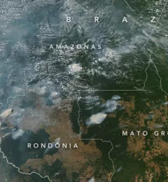
Articles & Stories Applied Sciences Team project informs decision makers with fire season forecast SERVIR AST member Doug Morton discusses the upcoming fire season in Amazonia in a new NASA article. July 11, 2020
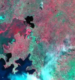
Articles & Stories Mekong River Commission Utilizes Space Technology to Improve Flood Forecasting Lower Mekong countries suffer from the effects of seasonal flooding and flash flooding caused by monsoon rains and tropical storms. Regional and national level organizations and agencies require a range of information, forecasts, and decision-support tools to better prepare for, monitor, issue warnings, and respond to flood risk. August 8, 2019
Articles & Stories SERVIR-Amazonia Brings Data to the Ground for Better Decision-Making in the Amazon A blog posted by Spatial Informatics Group (SIG) describes ways that the new SERVIR-Amazonia hub will bring geospatial information to assist with sustainable development problems and natural resource protection for the Amazonia region. March 19, 2019
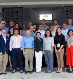
Articles & Stories USAID and NASA Harnessing Technology for Development in the Amazon The United States Agency for International Development (USAID) and the U.S. National Aeronautics and Space Administration (NASA) announced on March 8 a five-year project that will use satellite imagery to address environment and development challenges across the Amazon Basin. March 12, 2019
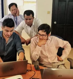
Articles & Stories Cambodian Youth Learn and Connect Geospatial Pieces For a second year, the SERVIR-Mekong program held an exhibition booth as part of the U.S. Government pavilion at Cambodia’s Science and Engineering Festival Exposition and Workshop (CSEF). February 28, 2019