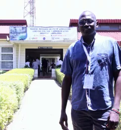
Articles & Stories SERVIR Profile of Phoebe Oduor Meet Phoebe Oduor, Greenhouse Gas Inventories and Land Use Land Cover Thematic Lead for RCMRD/SERVIR-Eastern and Southern Africa. December 7, 2017
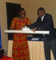
Articles & Stories World Bank and SERVIR working together to map for Natural Capital Accounting in Rwanda SERVIR-Eastern and Southern Africa (E&SA) at the Regional Centre for Mapping of Resources for Development (RCMRD), together with the government of Rwanda, recently released new 2015 land cover maps, disseminating them during a workshop in May 2017 in Kigali. June 22, 2017
Articles & Stories Adding new tools for tracking a changing landscape Monitoring land cover change over time is essential to understanding ecosystem health, biodiversity, forest carbon cycling, and much more. Land cover/land use (LCLU) data and maps are critical components for climate monitoring applications such as Greenhouse Gas (GHG) emissions reports. March 23, 2017
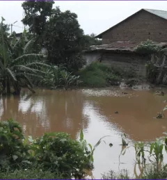
Articles & Stories SERVIR Guides Flood Protection in Kenya Like many rivers across the world, the Nzoia River in western Kenya pushes over its banks each year. In recent years, to protect lives and property in Kenya, SERVIR-Eastern & Southern Africa (E&SA) at the Regional Center for Mapping of Resources for Development (RCMRD) has provided high-accuracy flood level scenario maps to the World Bank to guide their flood protection dike repairs in the region. March 17, 2017
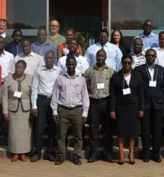
Blog Tracking the changing landscape of Eastern and Southern Africa Countries need accurate land cover data and methods for national-level monitoring of land cover changes and forest loss to inform forest management and policy. February 7, 2017