Articles & Stories Paying It Forward: 5 Questions with Africa Flores 
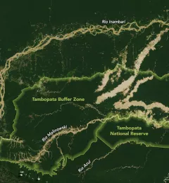
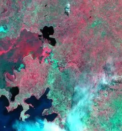
A natural curiosity about our home planet is often the greatest driver of scientists who use Earth observations to better understand the Earth's land, water, and ecosystems. May 2, 2019
Articles & Stories Tracking Peruvian Forest Loss from Space Understanding the patterns and causes of forest loss over time is important for sustainable land management and for assisting in decision-making for policy and enforcement activities. April 26, 2019
Articles & Stories Release of SAR Handbook to empower the monitoring and protection of forests worldwide SERVIR is pleased to announce the release of the Synthetic Aperture Radar (SAR) Handbook: Comprehensive Methodologies for Forest Monitoring and Biomass Estimation. April 10, 2019
Articles & Stories Developers Improve Land Use Monitoring from Space Following the launch of the Regional Land Cover Monitoring System (RLCMS) in 2018, developers are releasing an upgraded version resulting from a collaborative effort between SERVIR-Mekong and SERVIR Hindu Kush Himalaya. April 5, 2019
Articles & Stories SERVIR-Amazonia Brings Data to the Ground for Better Decision-Making in the Amazon A blog posted by Spatial Informatics Group (SIG) describes ways that the new SERVIR-Amazonia hub will bring geospatial information to assist with sustainable development problems and natural resource protection for the Amazonia region. March 19, 2019