Strategy & Guidance USAID Geospatial Strategy USAID’s 2024-2028 Geospatial Strategy promotes leveraging the power of geospatial data and technology to target the delivery of international programs. November 15, 2023
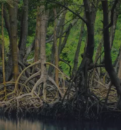
Training Mapping and Monitoring Mangroves using Google Earth Engine A Virtual Workshop hosted by SERVIR Amazonia This workshop is the third in a series offered by SERVIR Amazonia focused on using remote sensing to monitor mangroves in Guyana. December 15, 2020
Strategy & Guidance SERVIR Strategic Plan 2020-2025 This strategic plan identifies the next set of cross-cutting strategic priorities that will ensure SERVIR remains responsive to both NASA and USAID Agency goals and those of stakeholders and users in SERVIR regions. October 10, 2020
Training Estimating Forest Stand Height (FSH) with Synthetic Aperture Radar (SAR) Synthetic Aperture Radar (SAR) is a useful technology for monitoring forests and estimating biomass since it provides information complementary to optical sensors, such as vegetation structur March 5, 2020
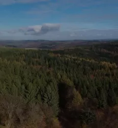
Training Keeping Watch Over Forests: A new training on Forest Cover Change Detection The U.S. Forest Service is hosting webinars to introduce an online training course on Remote Sensing for Forest Cover Change Detection. This activity comes as part of the USAID-funded SilvaCarbon initiative. April 18, 2017