Strategy & Guidance USAID Geospatial Strategy USAID’s 2024-2028 Geospatial Strategy promotes leveraging the power of geospatial data and technology to target the delivery of international programs. November 15, 2023
Use Case Use Case: Greening Prey Lang Greening Prey Lang, a USAID program, used Collect Earth Online (CEO) as part of their efforts to protect critical forestland in Cambodia and improve the lives of the people who live there. February 17, 2022
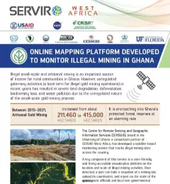
Fact Sheet Fact Sheet: Online Mapping to Fight Illegal Mining in Ghana This fact sheet highlights efforts to monitor illegal mining in Ghana. December 23, 2020
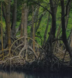
Training Mapping and Monitoring Mangroves using Google Earth Engine A Virtual Workshop hosted by SERVIR Amazonia This workshop is the third in a series offered by SERVIR Amazonia focused on using remote sensing to monitor mangroves in Guyana. December 15, 2020
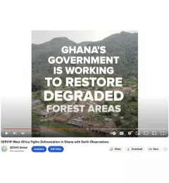
Video Video: Fighting Deforestation in Ghana with Earth Observations Ghana is home to some of the most biodiverse and carbon-dense forests in the world. But more than a third of them have been lost in recent decades. August 14, 2020