Video Video: Using Satellite Data to Monitor Locust Swarms in Eastern Africa SERVIR Global is using NASA satellites to guide USAID and FAO resources on the ground to fight locusts in east Africa. August 14, 2020
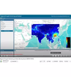
Video Regional Drought Monitoring and Early Warning System SERVIR scientists discuss the how the Regional Drought Monitoring and Early Warning System is being used in the Hindu Kush Himalaya region. July 28, 2020
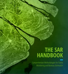
Tool SAR Handbook Comprehensive Methodologies for Forest Monitoring and Biomass Estimation The SAR Handbook: Comprehensive Methodologies for Forest Monitoring and Biomass Estimation is the culmination of a two-year collaboration between NASA SERVIR and SilvaCarbon. April 9, 2019
Training Keeping Watch Over Forests: A new training on Forest Cover Change Detection The U.S. Forest Service is hosting webinars to introduce an online training course on Remote Sensing for Forest Cover Change Detection. This activity comes as part of the USAID-funded SilvaCarbon initiative. April 18, 2017
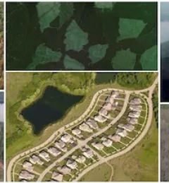
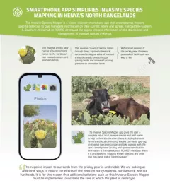
Infographic Kenya Invasive Species Mapper Smartphone app simplified invasive species mapping in Kenya's north rangelands The Invasive Species Mapper is a citizen-science smartphone app that crowdsources invasive species detection to give managers information on their current extent and spread.