Video
Video: SERVIR Motion Graphic
Learn how the SERVIR program is harnessing the power of science and technology for development in this two minute video narrated by NASA Astronaut Mae Jemison.

28 results
Learn how the SERVIR program is harnessing the power of science and technology for development in this two minute video narrated by NASA Astronaut Mae Jemison.
SERIR uses a "service" approach to identifying and addressing climate challenges.
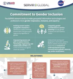
Learn more about how the SERVIR network works to make geospatial information technologies and professions more gender responsive and inclusive.
The U.S. Forest Service is hosting webinars to introduce an online training course on Remote Sensing for Forest Cover Change Detection. This activity comes as part of the USAID-funded SilvaCarbon initiative.
The 54th annual Earth Day is on April 22, 2024. To mark the occasion, SERVIR colleagues across the globe share their reflections on caring for the Earth, climate change and other environmental issues.
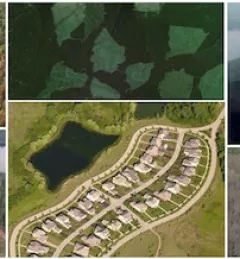
ClimateSERV is a web-accessible system that allows users to access, visualize, and analyze historical Earth observations useful to decision-making across multiple sectors.
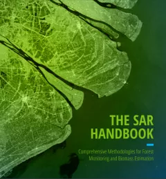
The SAR Handbook: Comprehensive Methodologies for Forest Monitoring and Biomass Estimation is the culmination of a two-year collaboration between NASA SERVIR and SilvaCarbon.
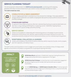
The Service Planning Toolkit is a resource for SERVIR Hubs and their partners to implement SERVIR's service planning approach.

Collect Earth Online is a custom built, open-source, satellite image viewing and interpretation system developed by SERVIR, FAO, and other partners as a tool for use in projects that require land cover and/or land use data.