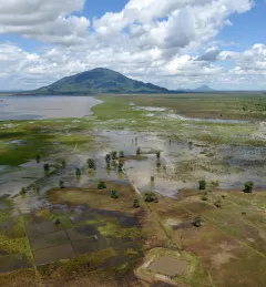
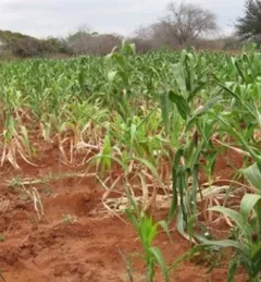
Weather & Climate Resilience
Sub-Seasonal to Seasonal Forecasting
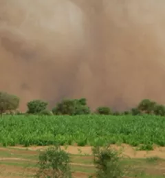
This service focuses on the production of seasonal crop-related weather forecasts for improving the quality of products disseminated to end users such as farmers.