Infographic
SERVIR's Service Approach
SERIR uses a "service" approach to identifying and addressing climate challenges.

18 results
SERIR uses a "service" approach to identifying and addressing climate challenges.
The U.S. Forest Service is hosting webinars to introduce an online training course on Remote Sensing for Forest Cover Change Detection. This activity comes as part of the USAID-funded SilvaCarbon initiative.
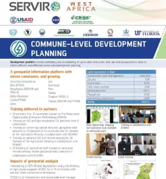
This fact sheet highlights how SERVIR West Africa is supporting sustainable management in Burkina Faso through commune-level development planning.
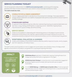
The Service Planning Toolkit is a resource for SERVIR Hubs and their partners to implement SERVIR's service planning approach.
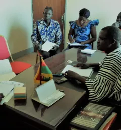
The Support for Commune-Level Development Planning in Burkina Faso service is developing an information platform for monitoring of the physical occupation, land use, land cover, and spatial data infrastructure of commune-level administrative areas in Burkina Faso to support decision making related to sustainable management.
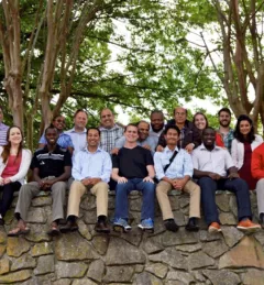
Team members of the NASA/USAID SERVIR program converged in Huntsville, Alabama, for a special workshop 18-22 April 2016.
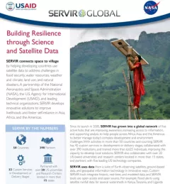
Through SERVIR, NASA's Earth Science Division's Applied Sciences Program advances the use of space-based observations to inform policy and decision makers as they adapt to the impacts of global change and plan for a sustainable future.
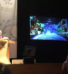
On September 22, 2016, SERVIR NASA Global Program Manager Dan Irwin delivered the prestigious Schermerhorn Lecture at the Opening of the Academic Year 2016-2017 of the University of Twente, Faculty of Geo-Information Science and Earth Observation.
According to the World Wildlife Fund, over 2 billion people rely on forests for shelter, livelihoods, water, food, and fuel security. Forests even help renew our air supply, as they take in large amounts of carbon dioxide and release oxygen.