Articles & Stories
SERVIR-Mekong adds key tools for environmental monitoring
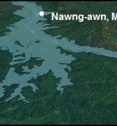
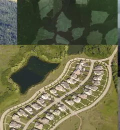
Recently, the SERVIR-Mekong team added three new tools to aid in the environmental monitoring of the Mekong River Basin.

176 results
Recently, the SERVIR-Mekong team added three new tools to aid in the environmental monitoring of the Mekong River Basin.
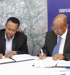
On January 18, 2017, the Regional Centre for Mapping of Resources for Development (RCMRD) and the Intergovernmental Authority on Development (IGAD) Climate Predication and Applications Centre (ICPAC) signed a groundbreaking Memorandum of Understanding.
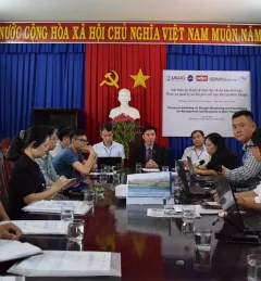
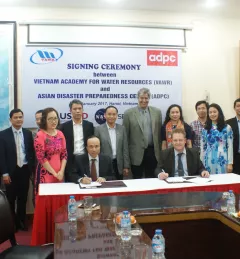
VAWR, which operates under Vietnam’s Ministry of Agriculture and Rural Development (MARD), is the leading institute for water resources, research and development within Vietnam.
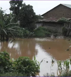
Vietnam and Thailand, like other countries in the Mekong region of Southeast Asia, have long dealt with water-related problems -- flooding in the rainy season, drought in the dry season, and degradation of water quality because of a growing population, urbanization, and agricultural and industrial expansion. Efficient management of water resources is all-important for these countries.
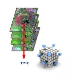
Earth Observation satellites beam enormous amounts of data to us about our planet every day. To manage and use this Big Data efficiently, scientists and technologists around the world need a way to ‘bite-size’ it.
The Regional Centre for Mapping of Resources for Development (RCMRD)/SERVIR-Eastern and Southern Africa (E&SA) hosted a week-long Training Workshop on the Variable Infiltration Capacity (VIC) Model and Bias Correction of Satellite Precipitation Data.
Like many rivers across the world, the Nzoia River in western Kenya pushes over its banks each year. In recent years, to protect lives and property in Kenya, SERVIR-Eastern & Southern Africa (E&SA) at the Regional Center for Mapping of Resources for Development (RCMRD) has provided high-accuracy flood level scenario maps to the World Bank to guide their flood protection dike repairs in the region.
The Mekong River Commission (MRC) is an intergovernmental organization that provides coordination and technical input on flood management to the members of the Lower Mekong countries including Cambodia, Lao PDR, Thailand, and Vietnam.
In the context of the U.S. Agency for International Development (USAID)-funded SilvaCarbon initiative, the US Forest Service (USFS) will be hosting a webinar to introduce an online training course on Remote Sensing for Forest Cover Change Detection using freely available, open source software (QGIS and Google Earth Engine).
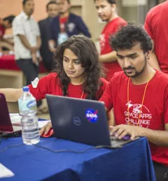
SERVIR hubs joined over 185 other locations in 69 countries across the globe in hosting the 2017 NASA International Space Apps Challenge.