Articles & Stories
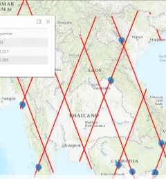
Laos dam collapse and flooding: View from Space

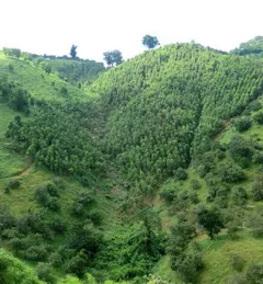
The collapse, on the night of July 23, of the Xe Namnoy Xe Pian Dam in Sanamxay district, Attapeu province of Lao PDR, flooded villages and left thousands homeless.