
Building a Platform to Track Progress on SDGs and Inform Decisions in Senegal
This service addresses the need for reliable data for monitoring and reporting on the Sustainable Development Goals (SDGs) in Africa, to inform decisions and investments at national and local levels. The main deliverable is a data platform (web portal) focusing on Senegal. Following consultation with stakeholders, a community of practice was established, related to the two ministries officially in charge of reporting on SDGs: the Ministry of Environment and the Ministry of Economy and Finance. Additional end users and beneficiaries include departmental and municipal administrations. An initial action plan and priority SDG indicators have been defined. The service’s platform aims to collect and offer a wide range of biophysical and socioeconomic information and SDG indicators including water-related ecosystems, land ecosystems, urban development, among others. The necessary collaborations and partnerships are being established to take advantage of other similar initiatives. Similarly, products from other services, including those of the SERVIR program, could be integrated into this platform. Ultimately, the service is intended to be replicated and extended to other sectors and geographical areas within the region.
Rationale
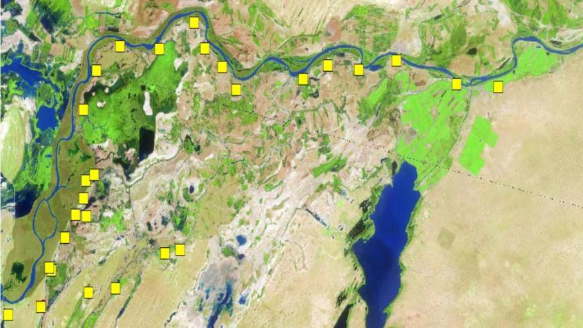
Timely and spatially explicit data including Earth observations and socioeconomic data are particularly relevant for tracking and reporting progress on a number of global, national, and local policies. This includes the 2030 Agenda for Sustainable Development, seen as elements for designing strategies to improve the lives and livelihoods of the most vulnerable under the ‘Leave No One Behind’ principle. While in this context a variety of tools (e.g. platforms, dashboards) are being developed worldwide, for most African countries, such tools still remain too general and not always pertinent at national and sub-national levels. Under Phase 1 of SERVIR West Africa, the need for such a service emerged to explore the feasibility of a spatially explicit data platform, operating at national and local levels to track SDG progress while supporting decisions and investments on land, water and food security.
-
Users
GTPODE (Working Group on SDGs related to the environment)
Ministry of Environment and Sustainable development (CSE, DPVE, DEFCCS, DEEC, DAMP, DPN)
Ministry of Economy and Finance (DGPPE, ANSD)
IPAR (initiative prospective agricole et rurale)
Association des élus locaux du Sénégal (UAEL)
(Association des Présidents de Région (APR), Association des Maires du Sénégal (AMS), et Association Nationale des Conseils Ruraux (ANCR)
-
Tools
Senegal SDGs Mapping Platform (in development)
-
Publications