
Charcoal Production Site Monitoring Service for West Gonja and Sene Districts in Ghana
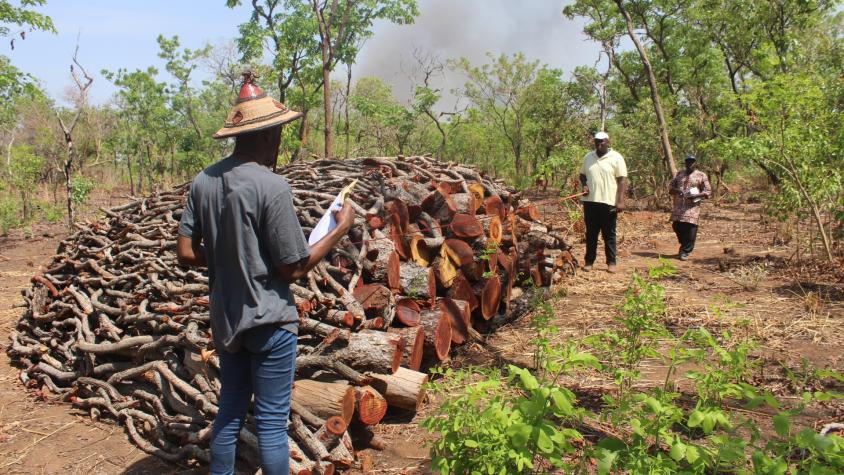
The Charcoal Production Site Monitoring Service is a web-based platform for visualizing the spatial distribution of charcoal production sites, thereby facilitating forest degradation monitoring in the study areas. Very high-resolution imagery from Google Earth and remote sensing data from Landsat 7 and Landsat 8 are used to identify charcoal kilns and the production of tree cover density maps. This information will help guide district-level land use planning and aid in the monitoring of tree cover loss, which is a key component of estimating carbon emissions.
Rationale
Charcoal production degrades environmental services through forest degradation, soil fertility loss, erosion, biodiversity loss, wildfires, and air quality. In Ghana, like in most West African countries, charcoal is the major fuel for domestic cooking in urban areas, produced by rural communities in areas normally under the administration of traditional and district authorities. These local communities and authorities lack adequate information to address the negative environmental impacts caused by charcoal production.
In spite of initiatives by non-state actors such as A Rocha and Solidaridad to strengthen community capacity to engage in policy discussions and participate in land use planning, the information gap persists. Addressing this pressing issue requires effective mechanisms for sharing information about charcoal production at the national, district and community level. By bridging the information gap, we can proactively address the adverse impacts of charcoal production and foster a more sustainable approach that balances the needs of both communities and the environment.
-
Users
Forestry Commission of Ghana
Forestry Research Institute of Ghana
Technology Consultancy Centre, Kwame Nkrumah University of Science and Technology
Environmental Protection Agency Ghana
A Rocha Ghana
Energy Commission
Energy Foundation
Global Alliance for Clean Cookstoves
Metropolitan, Municipal and District Assemblies in charcoal production areas
Traditional Authorities
Ministry of Energy & Petroleum
Ministry of Land and Natural Resources
Ministry of Environment, Science, Technology & Innovation
UNDP
USAID

-
Fact Sheet: Monitoring Charcoal Production in Ghana
This fact sheet highlights how the Charcoal Production Site Monitoring Service is facilitating forest degradation monitoring of charcoal production sites in Ghana.
-
Use Case: A Rocha Ghana
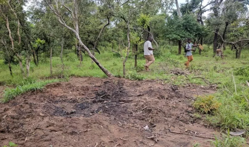
A Rocha Ghana (ARG) is an established environmental organization in Ghana that helps communities adapt to their changing natural environments. It currently works in the West Gonja District in northern Ghana where charcoal production is widespread.

