
Farmer Managed Natural Regeneration in Niger
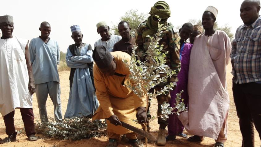
Farmer Managed Natural Regeneration (FMNR) is a low-cost land restoration technique used to combat poverty, hunger, and Sahara desert encroachments amongst low-income farmers by increasing ecosystem services (food and managed timber production and Carbon sequestration), and resilience to climate extremes. In practice, FMNR involves the systematic regrowth and management of trees and shrubs from felled tree stumps, sprouting root systems or seeds. The regrown trees and shrubs, which help restore soil structure and fertility, reduce erosion and soil evaporation, rehabilitate springs, and increase water table recharge, and increase biodiversity. Some tree species also fix nutrients such as nitrogen into the soil. Satellite imagery and GIS can contribute to this objective by characterizing land use / land cover (LULC) based on physical and socio-economic factors in areas where FMNR has been successfully implemented and analyzing how the FMNR and non-FMNR areas change by using time series analysis and the effects on crop yields. This is the origin of the "SaZa model", a multi-criteria decision-making tool for identifying areas suitable for FMNR and actions to improve the suitability of a targeted area. As the model is validated, the next steps include producing a suitability map for the whole study area at the national level for wide adoption in Niger and test the model in other countries of the Sahel. This work is supported by NASA, National Great Green Wall Agencies, and partners.
Rationale
FMNR has been implemented in Niger since the 1980s to tackle the problems associated with land degradation and, later, climate change. However, despite its adoption, hundreds of thousands of hectares are degraded every year. The main causes are climate change through the occurrence of extreme climatic events (drought, floods, heatwaves, etc.) and the alteration in the living conditions of rural populations who find in trees an alternative means of meeting their needs. These aspects have been neglected in most FMNR implementation projects in the past or, in some cases, only a few aspects have been taken into account. In addition, the limited availability and accessibility of relevant, up-to-date information about land cover and land use in Niger prevented the effective planning and management of commune development. To fill this gap, the "SaZa model" was developed by the International Crops Research Institute for the Semi-Arid Tropics (ICRISAT) as a geospatial decision model via SERVIR WA Hub. It integrates the biophysical, socio-economic and governance parameters responsible for the successful implementation of the FMNR to identify suitable areas for FMNR upscaling.
-
Users
Ministries of the environment, ministries of agriculture, National Great Green Wall Agencies
Non-Governmental actors (CRS, IRC, WHH, World Vision, WinRock International, etc.), technical and financial partners (PAM, FAO, FIDA, World Bank, GIZ, EU, SNV, USAID, FEM, ENABEL), research institutes (ICRISAT, INRAN, ICRAF, AGRHYMET), universities