
Geospatial Applications for Food Security and Sustainable Landscapes in Burma (Myanmar)
The Geospatial Applications for Food Security and Sustainable Landscapes service aims to improve food security in Burma (Myanmar) by improving crop planning and forest landscape management practices in the country.
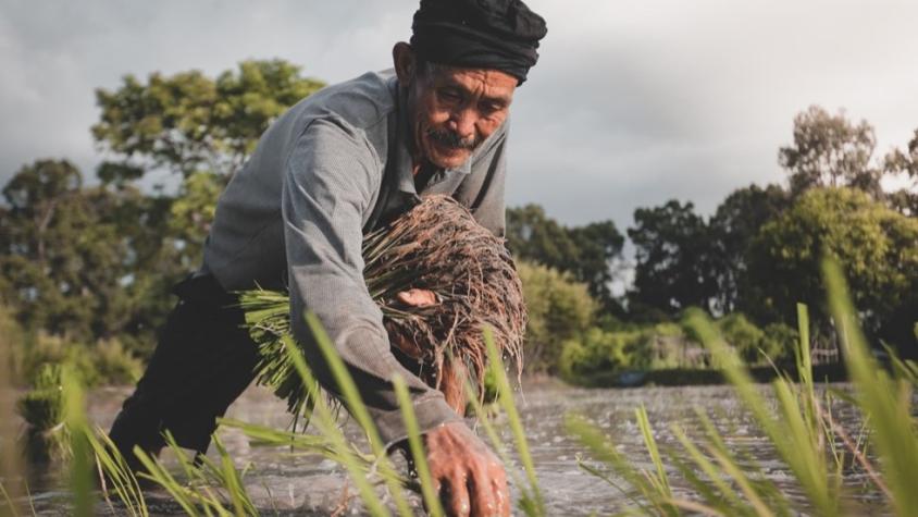
SERVIR SEA uses remote sensing technologies and climate models to estimate changes in crop production and its implications on the food security of Burma. The international community and non-government organizations use this information to manage the food crises in the country.
Rationale
Due to the current geopolitical situation in Burma, conducting food security assessments using field data is very difficult. Satellite data and geospatial information can help bridge this gap in a credible way.
More than 13.2 million people (1 in 4) across Myanmar are moderately or severely food insecure, with concerning implications for malnutrition. In 2022, fuel prices were 133% higher after the military coup post-crisis, and the average retail price of a basic food basket was up by 27% compared to a year ago. Prices of rice have increased by 11% in Burma since the February 2021 coup. Burma continues to export rice to China and Bangladesh while rice yields decline across the country.
-
Users
USAID/Burma
International Food Policy Research Institute (IFPRI), MIMU, WWF, Awba group, USAID TIGA project, Myanmar Corn Industry and Trader Association, Myanmar Rice Federation
-
Tools
Regional Land Cover Monitoring System
Myanmar Biophysical Monitoring tool (to be developed)