
Geospatial Applications for Protected Area Alerts and Crop Maps
Geospatial Applications for Protected Area Alerts and Crop Maps aims to decrease greenhouse gas emissions and improve the livelihoods of local communities. SERVIR SEA develops user-friendly decision support tools for monitoring forest clearance activities, thereby preventing illegal forest logging across the country in collaboration with non-government organizations and other USAID projects. Satellite data and geospatial information are used to map different crop types and support users in enhancing sustainable agriculture development
Rationale
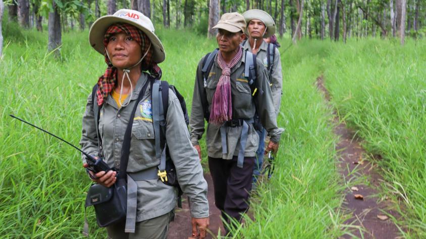
Cambodia has grappled with deforestation for many years. According to a 2018 estimate by the Ministry of Environment, the country’s forest cover has dropped from 73.4% to 46.9% since 1965. In addition, a 2020 report by the World Wildlife Fund found that Cambodia represents an active deforestation front whose deforestation rates were among the highest in the world from 2008 to 2018. Deforestation and forest degradation release vast amounts of greenhouse gasses into the atmosphere, lead to biodiversity loss, reduce water quantity and quality, and threaten the livelihoods of local indigenous communities.
-
Users
USAID/Cambodia
Open Development Cambodia (ODC)
Conservation International
Wildlife Conservation Society Cambodia Programme
World Wildlife Fund (WWF)
Fauna and Flora International (FFI)
BirdLife International
World Bank (WB)
Asian Development Bank (ADB)
