
Increased Capacity of NGOs and Educational Institutions to Use Remote Sensing to Monitor Forest Cover and Landscape Management
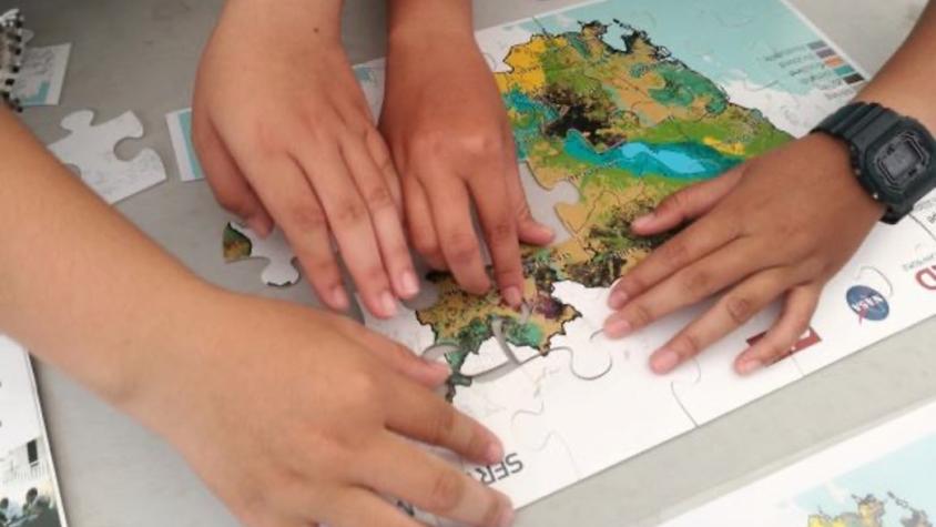
The service, Increased Capacity of NGOs and Educational Institutions to use Remote Sensing to Monitor Forest Cover and Landscape Management, increased technical capacity and provided technical assistance to select partners working to monitor and protect land and forest resources in Cambodia. SERVIR trained Royal University of Phnom Penh (RUPP) staff to become trainers of geospatial applications in environmental monitoring and natural resource management and facilitated the development of short professional courses in this area. SERVIR developed training course curriculums for RUPP that could be used for future training and capacity building purposes. This service also trained USAID/Cambodia mission staff to use SERVIR-Mekong’s Monitoring and Evaluation Dashboard. The service enhanced the capacity of selected NGOs by improving their knowledge and interpretation of land cover mapping approaches, including Google Earth Engine (GEE), land cover change, forest fire detection and surface water mapping.
Rationale
Capacity building is essential to ensure that development interventions can be institutionalized for future continuity and sustainability. Capacity building ensures that USAID staff and other stakeholders are fully trained to benefit from SERVIR Mekong’s Monitoring and Evaluation Dashboard. Additionally, it institutionalizes the use of advanced geospatial tools and services by stakeholders at NGOs and educational institutions by providing them with the necessary training to pass on this technical know-how to their colleagues within the industry and the government via customized training programs.
-
Users
Royal University of Phnom Penh (RUPP)
Conservation International
Wildlife Conservation Society (Cambodia Programme)
USAID Greening Prey Lang (GPL)
Conservation International (CI)
Wildlife Conservation Society (WCS)
Wildlife Alliance (WA)
World Wide Fund for Nature (WWF)
Wild Earth Allies (WEA)
Birdlife International (Birdlife)
Rising Phoenix Co., Ltd
Our Future Organization (OFO)
Maddox Jolie-Pitt Foundation (MJP)
Royal University of Phnom Penh
Royal University of Agriculture